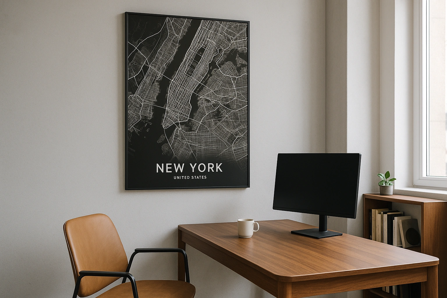
Philadelphia Map Poster
William Penn's 1682 grid between the Delaware and the Schuylkill — the original American city plan, still perfectly readable.
Digital from $4.99 · Prints from $24.99 · US shipping
- Digital download available
- Printed and shipped in the US
- Framed and canvas options
- Fine art print options
- Secure checkout
Map an exact place
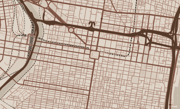
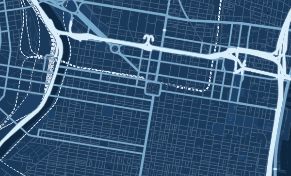
Philadelphia's map carries the DNA of American urban planning. William Penn's original 1682 plan laid a grid between two rivers — the Delaware to the east, the Schuylkill to the west — with five public squares distributed symmetrically. That grid still anchors Center City, and its numbered east-west streets (2nd through 69th) are a counting lesson that stretches for miles. But the map's greatest surprise is Fairmount Park — a vast green system along the Schuylkill that is one of the largest urban parks in the world.
Start with your location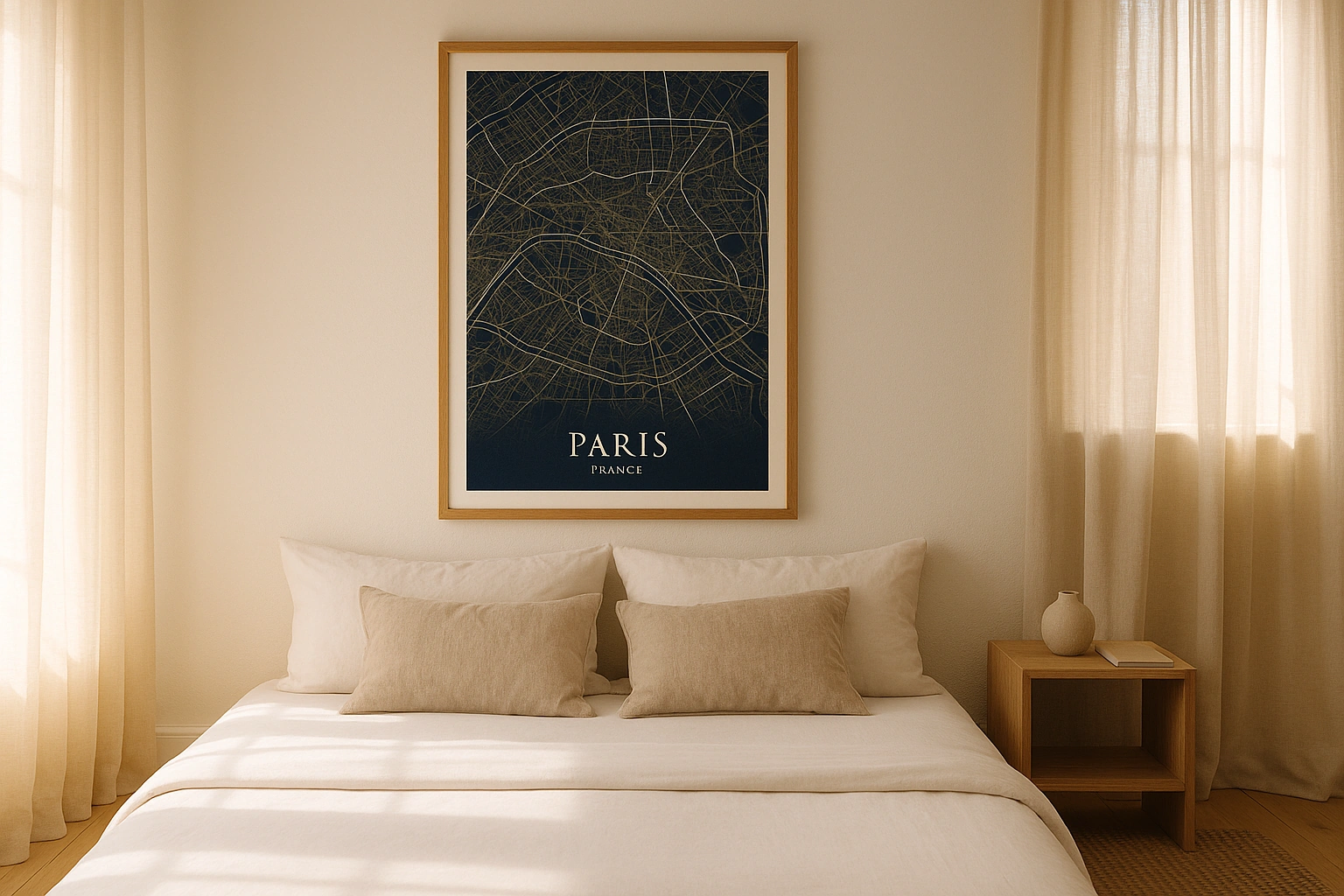
Philadelphia in every style
The same streets, completely different moods. Choose a look that matches your space.
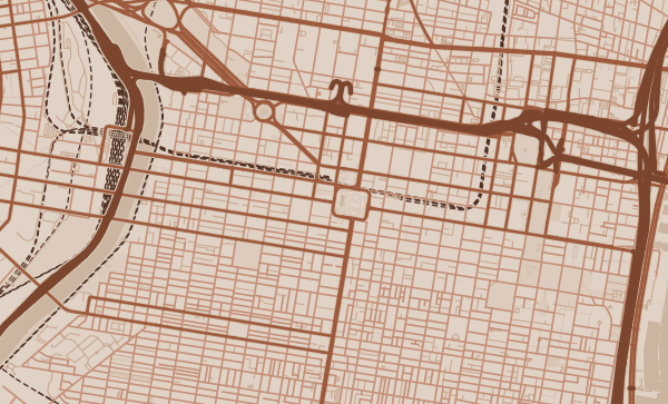
The Two-River City
Philadelphia sits on a peninsula between the Delaware and Schuylkill rivers, and the map reads as a grid stretched between two waterfronts. The Delaware side is industrial and historic — Penn's Landing, the Navy Yard. The Schuylkill side is green and institutional — Boathouse Row, the art museum steps, the university campuses. In the Copper theme, both rivers take on a warm, burnished quality that suits the city's deep history.
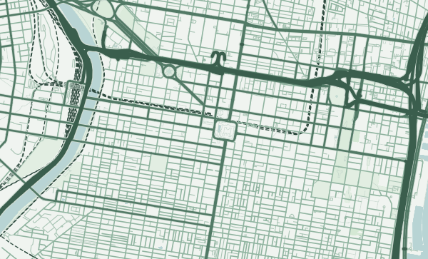
Fairmount Park — The Green Giant
Fairmount Park system covers over 2,000 acres along the Schuylkill River, and on a map it dominates the western half of the city. Wissahickon Valley, East and West Fairmount Park, the Philadelphia Zoo — this green corridor is so extensive that it almost divides the city in two. The Forest theme transforms this parkland into a rich, layered green that makes Philadelphia look like a city growing out of a forest.
From Rittenhouse to Your Rowhome
Rittenhouse Square's elegant surround. South Philly's tight rowhome grid. Fishtown's rapidly changing blocks. Germantown's historic avenues. Philly is a city of neighbourhoods with strong opinions and stronger loyalties. Zoom into your block, your corner store, your park. A Philadelphia poster is a declaration of where you're from.
Neighborhoods
Jump straight into an iconic Philadelphia neighborhood and start designing.
Gift ideas
Make it personal for the moments that matter.
Questions
Answers about customizing and ordering a Philadelphia map poster.
Can I customize a Philadelphia map poster?
Yes. Choose the map crop, color theme, text, coordinates, labels, and print format before ordering.
Which parts of Philadelphia can I map?
You can start with places like Rittenhouse Square, Fishtown, and South Philadelphia, or search for any address, landmark, or neighborhood.
What formats are available?
Digital downloads are available instantly. Fine art prints, framed posters, and canvas prints are available for US shipping where the selected size supports them.
Ready to create your Philadelphia poster?
Choose your theme, zoom into your favorite street, and make it yours.
Start designing