Washington DC Map Poster
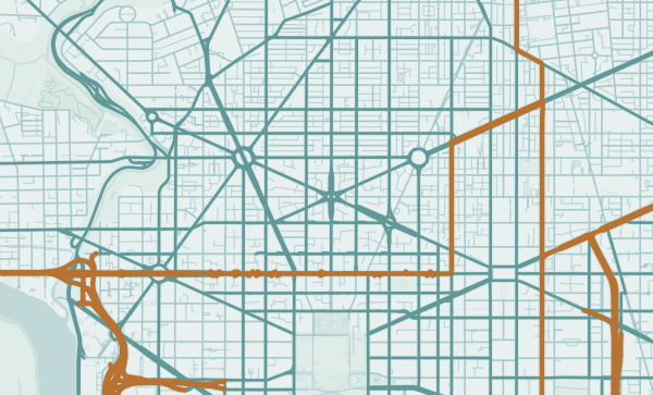
L'Enfant's radial plan — diagonal avenues slashing through the grid — is one of the great feats of urban cartography.
Digital from $4.99 · Prints from $24.99 · US shipping
- Digital download available
- Printed and shipped in the US
- Framed and canvas options
- Fine art print options
- Secure checkout
Map an exact place
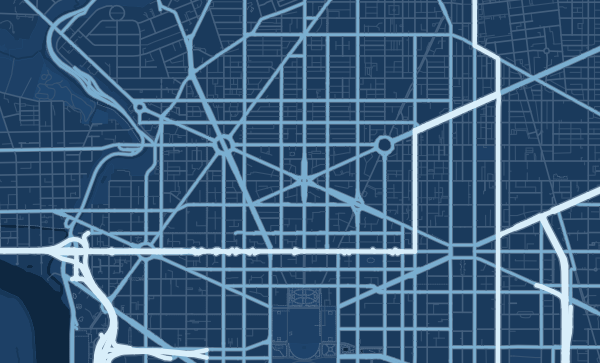
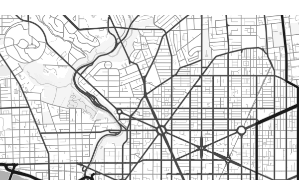
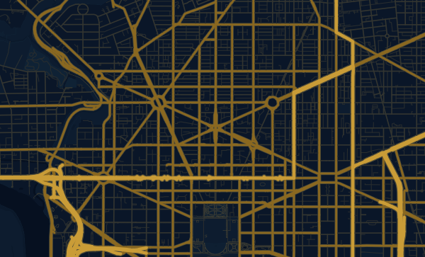
Washington DC's map is a masterpiece of intentional design. Pierre L'Enfant laid out the city in 1791 with a Baroque vision — a regular street grid overlaid with grand diagonal avenues radiating from circles and squares. The Potomac River and its tributary, Rock Creek, add natural curves to the geometric rigour. The National Mall's great void anchors the centre. It is a map designed to be looked at — a capital city that performs its power through geometry.
Start with your location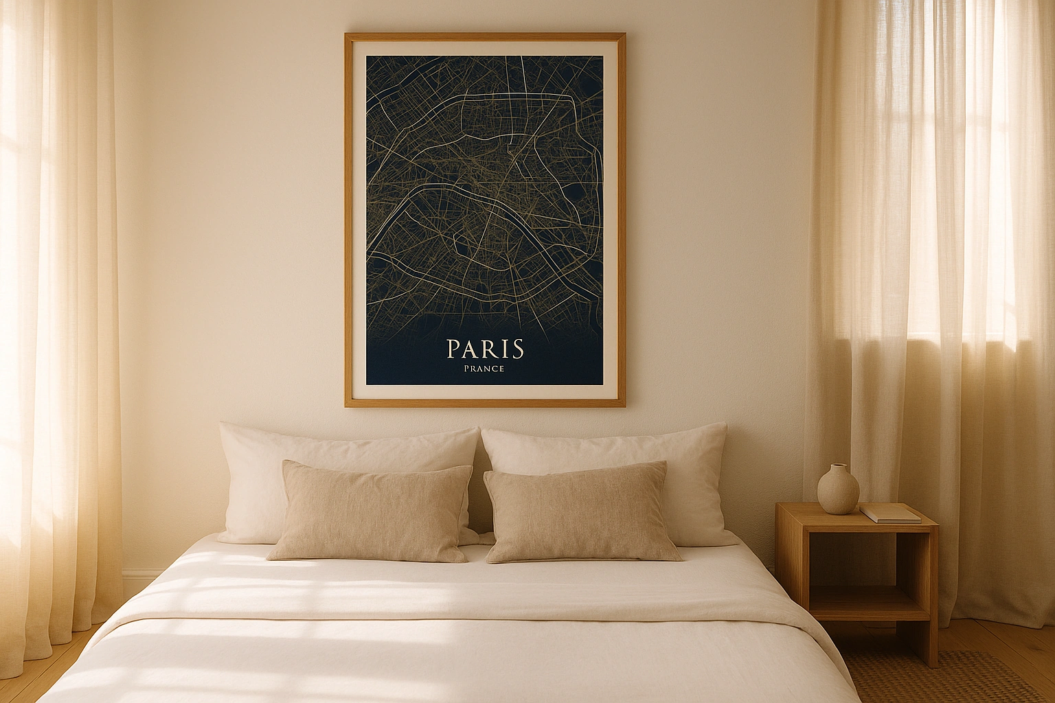
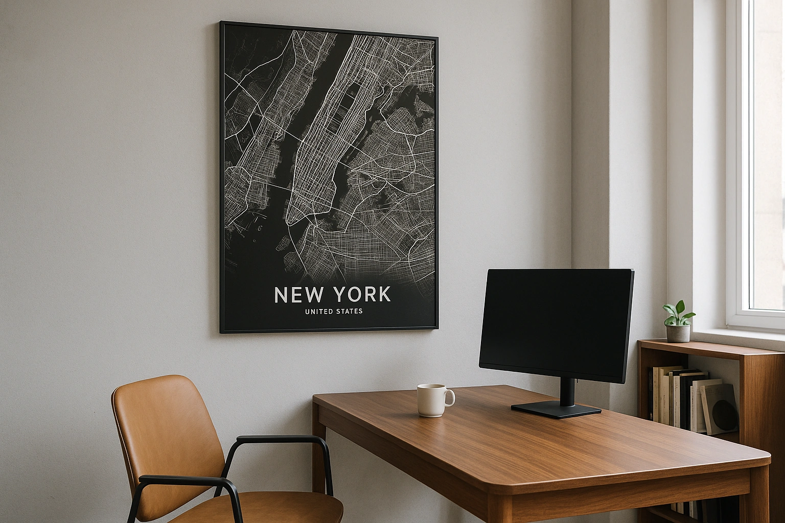
Washington DC in every style
The same streets, completely different moods. Choose a look that matches your space.
The Diagonal Avenues
Pennsylvania Avenue, Massachusetts Avenue, Connecticut Avenue — the diagonal boulevards named for states are what make DC's map extraordinary. They slash across the numbered and lettered street grid, creating circles and triangles at every intersection. Dupont Circle, Logan Circle, Thomas Circle — each one a node in L'Enfant's grand diagram. The Blueprint theme renders this plan with architectural precision, making the geometry sing.
The National Mall — A Void That Speaks
The Mall is one of the most recognisable shapes on any city map — a wide, open rectangle stretching from the Capitol to the Lincoln Memorial, crossed by the axis of the White House to the Jefferson Memorial. On a poster, it reads as deliberate emptiness — the breathing space at the heart of a nation. In the Contrast theme, this void becomes the most powerful element on the page.
Beyond the Monuments
Georgetown's colonial grid, predating the city itself. Adams Morgan's dense blocks. Anacostia's streets east of the river. Capitol Hill's row-house regularity. DC is a city of neighbourhoods as much as monuments. Zoom into your quadrant — NW, NE, SE, SW — and make a poster that's about your DC, not the postcard version.
Neighborhoods
Jump straight into an iconic Washington DC neighborhood and start designing.
Gift ideas
Make it personal for the moments that matter.
Questions
Answers about customizing and ordering a Washington DC map poster.
Can I customize a Washington DC map poster?
Yes. Choose the map crop, color theme, text, coordinates, labels, and print format before ordering.
Which parts of Washington DC can I map?
You can start with places like Georgetown, Capitol Hill, and Adams Morgan, or search for any address, landmark, or neighborhood.
What formats are available?
Digital downloads are available instantly. Fine art prints, framed posters, and canvas prints are available for US shipping where the selected size supports them.
Ready to create your Washington DC poster?
Choose your theme, zoom into your favorite street, and make it yours.
Start designing