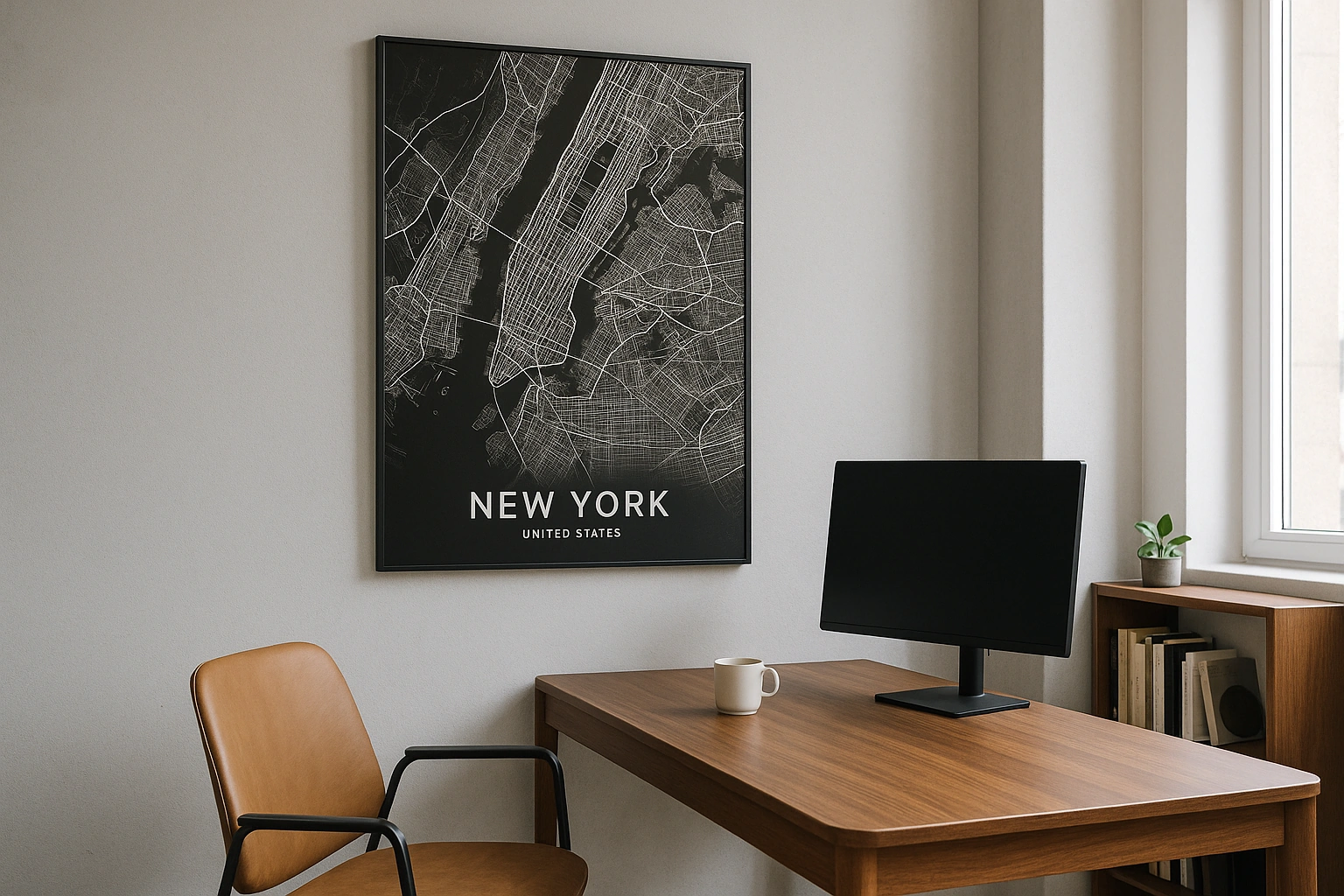
Chicago Map Poster
A city where the world's most disciplined street grid meets one of the Great Lakes — and neither blinks.
Digital from $4.99 · Prints from $24.99 · US shipping
- Digital download available
- Printed and shipped in the US
- Framed and canvas options
- Fine art print options
- Secure checkout
Map an exact place
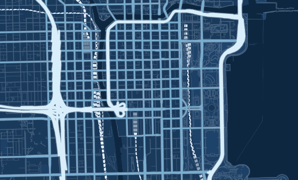
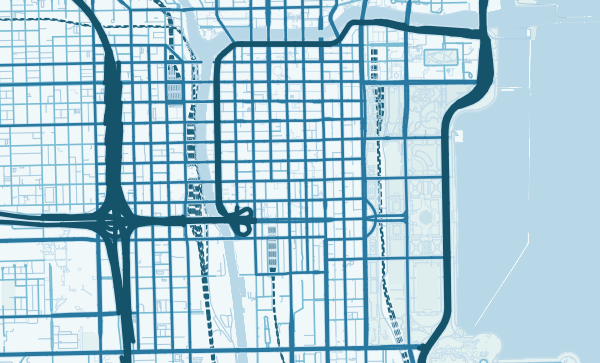
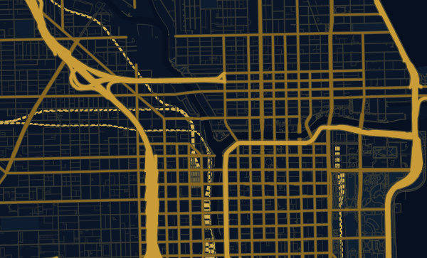
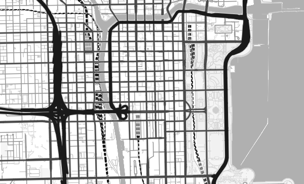
Chicago's map is an exercise in American confidence. The street grid is one of the most rigorous on earth — a perfect lattice of numbered streets and named avenues that stretches for miles in every direction. Then Lake Michigan arrives and the grid simply stops, replaced by a sweeping, uninterrupted lakefront curve. The Chicago River's distinctive Y-fork cuts through downtown like a signature. It is a map of clarity, ambition, and water.
Start with your location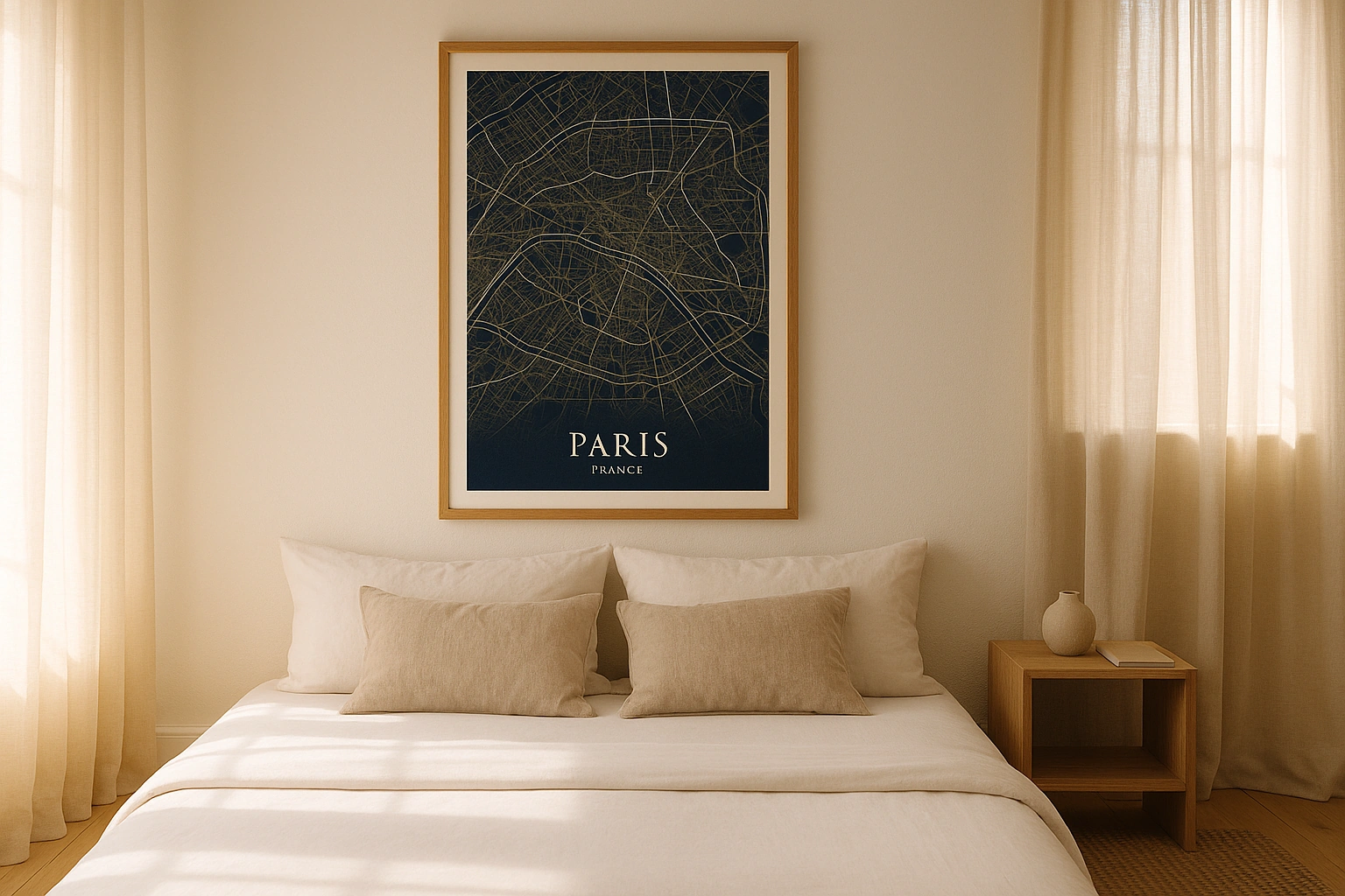
Chicago in every style
The same streets, completely different moods. Choose a look that matches your space.
The Relentless Grid
Chicago's grid is so precise you can calculate distance by street number. Eight blocks to a mile, every block accounted for. Madison and State divide the city into quadrants. On a map, this regularity is hypnotic — a texture that extends from the Loop all the way to the city limits. The Blueprint theme turns this grid into something almost mathematical, a geometric proof of a city's logic.
The Lakefront — Where the Grid Surrenders
Lake Michigan is the map's defining edge. Twenty-six miles of unbroken lakefront parkland curve along the eastern boundary — Grant Park, Lincoln Park, Jackson Park — a continuous green ribbon between the city and the water. In the Ocean theme, the lake becomes a vast blue expanse that makes the city feel like a coastal settlement on an inland sea.
Your Chicago Neighbourhood, Your Story
Wicker Park's angled Milwaukee Avenue. Hyde Park's leafy campus grid around the University of Chicago. Pilsen's tight blocks south of 18th Street. Every Chicago neighbourhood has its own cartographic personality. Zoom into the place that means the most — your first apartment, your favourite L stop — and make it permanent.
Neighborhoods
Jump straight into an iconic Chicago neighborhood and start designing.
Gift ideas
Make it personal for the moments that matter.
Questions
Answers about customizing and ordering a Chicago map poster.
Can I customize a Chicago map poster?
Yes. Choose the map crop, color theme, text, coordinates, labels, and print format before ordering.
Which parts of Chicago can I map?
You can start with places like The Loop, Wicker Park, and Hyde Park, or search for any address, landmark, or neighborhood.
What formats are available?
Digital downloads are available instantly. Fine art prints, framed posters, and canvas prints are available for US shipping where the selected size supports them.
Ready to create your Chicago poster?
Choose your theme, zoom into your favorite street, and make it yours.
Start designing