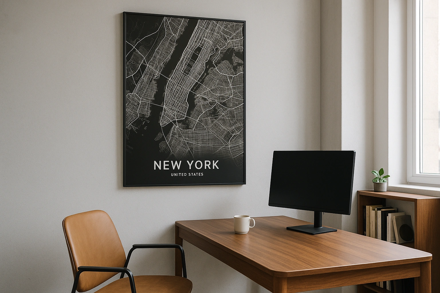
Detroit Map Poster
Grand boulevards radiate from the river like the spokes of a wheel — a city designed for movement, mapped for beauty.
Digital from $4.99 · Prints from $24.99 · US shipping
- Digital download available
- Printed and shipped in the US
- Framed and canvas options
- Fine art print options
- Secure checkout
Map an exact place
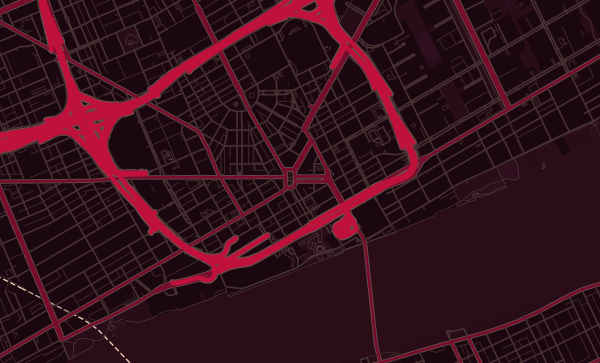
Detroit's map is one of the most distinctive in America. Augustus Woodward's 1805 plan laid out a series of grand avenues radiating from the Detroit River — Michigan Avenue, Grand River Avenue, Gratiot Avenue, Woodward Avenue — creating a radial street pattern that looks like a starburst from above. The Detroit River itself is a map curiosity: it flows south, making Canada visible to the north. Belle Isle sits in the river like a green gem. It is a map of grand ambition, and its beauty endures.
Start with your location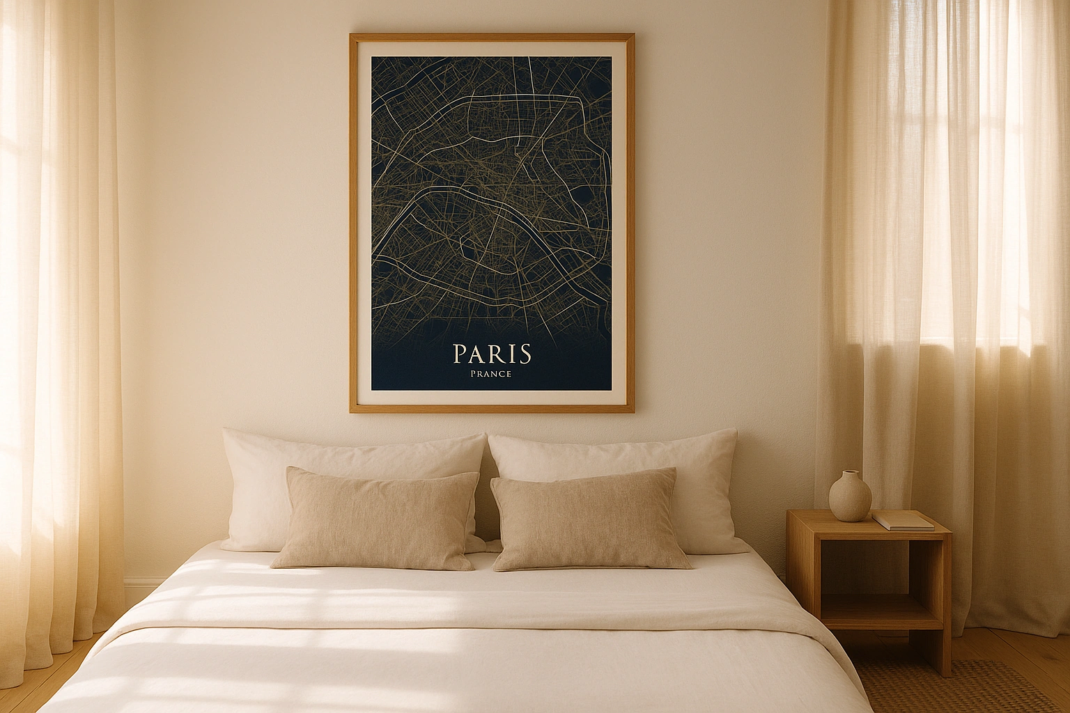
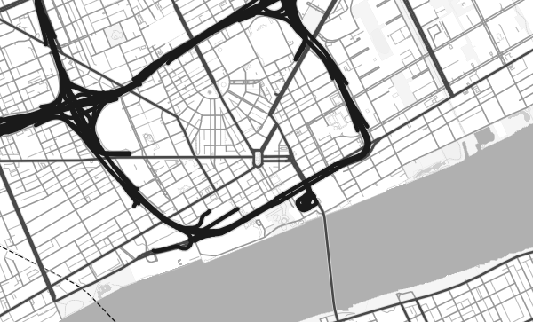
Detroit in every style
The same streets, completely different moods. Choose a look that matches your space.
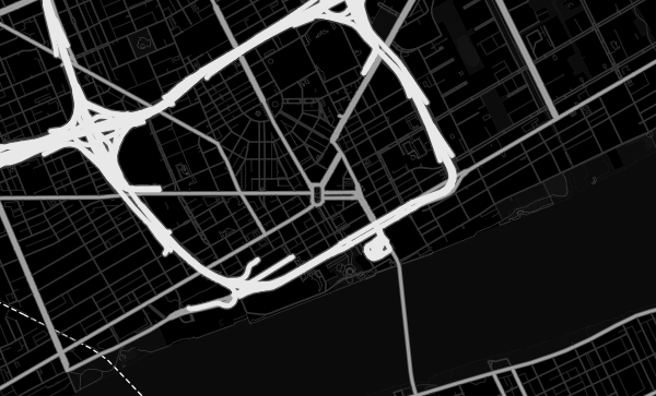
Woodward's Radial Plan
The grand avenues radiating from downtown Detroit are its cartographic signature. Woodward Avenue runs due north, Michigan Avenue heads southwest, Grand River Avenue aims northwest, and Gratiot Avenue pushes northeast. Where these diagonals cross the surrounding section-line grid, they create dramatic intersections and angular blocks. The Noir theme turns these radiating avenues into beams of light emanating from the riverfront — a city illuminated by its own geometry.
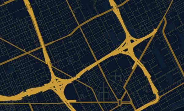
The River Border
The Detroit River is one of the few places in the contiguous United States where Canada is directly south. On a map, the river curves gracefully, with Windsor, Ontario, visible across the water. Belle Isle — Frederick Law Olmsted's island park — sits mid-river like a green medallion. The Ambassador Bridge arcs southwest to Canada. In the Midnight Blue theme, the river becomes a dark channel of international border, atmospheric and significant.
Your Detroit, Rising
Corktown's resilient grid, the oldest neighbourhood in the city. Midtown's cultural corridor along Woodward. Indian Village's grand residential blocks. Southwest Detroit's vibrant streets. Detroit's story is written in its neighbourhoods, and a custom map poster is a way to honour the place you believe in. Zoom in, frame your block, and choose a palette that speaks to Detroit's future as much as its past.
Neighborhoods
Jump straight into an iconic Detroit neighborhood and start designing.
Gift ideas
Make it personal for the moments that matter.
Questions
Answers about customizing and ordering a Detroit map poster.
Can I customize a Detroit map poster?
Yes. Choose the map crop, color theme, text, coordinates, labels, and print format before ordering.
Which parts of Detroit can I map?
You can start with places like Corktown, Midtown, and Indian Village, or search for any address, landmark, or neighborhood.
What formats are available?
Digital downloads are available instantly. Fine art prints, framed posters, and canvas prints are available for US shipping where the selected size supports them.
Ready to create your Detroit poster?
Choose your theme, zoom into your favorite street, and make it yours.
Start designing