Boston Map Poster
Cow paths became colonial lanes, colonial lanes became a city — and the map still remembers every turn.
Digital from $4.99 · Prints from $24.99 · US shipping
- Digital download available
- Printed and shipped in the US
- Framed and canvas options
- Fine art print options
- Secure checkout
Map an exact place
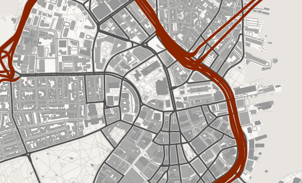
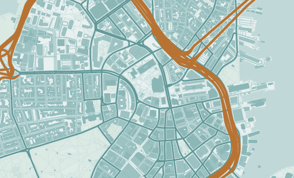
Boston's map is a magnificent rejection of the grid. Streets follow the paths of 17th-century cow paths and colonial-era property lines, creating a tangle that has bewildered visitors for four centuries. The Charles River opens into a wide basin that separates Boston from Cambridge, the harbour cuts deep into the city, and the Back Bay's alphabetical grid stands out precisely because it is the exception. A Boston map poster is a study in beautiful irregularity.
Start with your location
Boston in every style
The same streets, completely different moods. Choose a look that matches your space.
The Anti-Grid
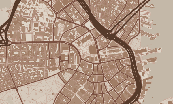
Where most American cities impose order, Boston embraces chaos. The streets of Beacon Hill, the North End, and the Financial District twist and turn with a logic all their own — following shorelines that no longer exist, property lines from the 1630s. The Japanese Ink theme gives these winding paths an almost calligraphic beauty, as though the city were handwritten rather than planned.
The Charles River Basin
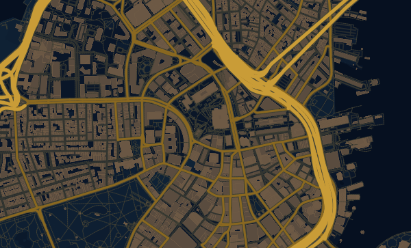
The Charles River's broad basin is the centrepiece of any Boston map. It separates Boston from Cambridge and MIT, with the Esplanade running along its southern bank and Harvard's campus visible to the north. The bridges — Longfellow, Harvard, BU — stitch the two sides together. In the Midnight Blue theme, the basin becomes a dark mirror at the heart of the city.
From the Freedom Trail to Your Front Door
Boston is a city of fierce neighbourhood loyalty. Southie, Charlestown, Jamaica Plain, Beacon Hill — each has a distinct shape on the map and a distinct claim on the heart. Zoom into the block where you watched the Marathon, the campus where you studied, the harbour where you walked. A Boston poster is a love letter in street form.
Neighborhoods
Jump straight into an iconic Boston neighborhood and start designing.
Gift ideas
Make it personal for the moments that matter.
Questions
Answers about customizing and ordering a Boston map poster.
Can I customize a Boston map poster?
Yes. Choose the map crop, color theme, text, coordinates, labels, and print format before ordering.
Which parts of Boston can I map?
You can start with places like Beacon Hill, Back Bay, and North End, or search for any address, landmark, or neighborhood.
What formats are available?
Digital downloads are available instantly. Fine art prints, framed posters, and canvas prints are available for US shipping where the selected size supports them.
Ready to create your Boston poster?
Choose your theme, zoom into your favorite street, and make it yours.
Start designing