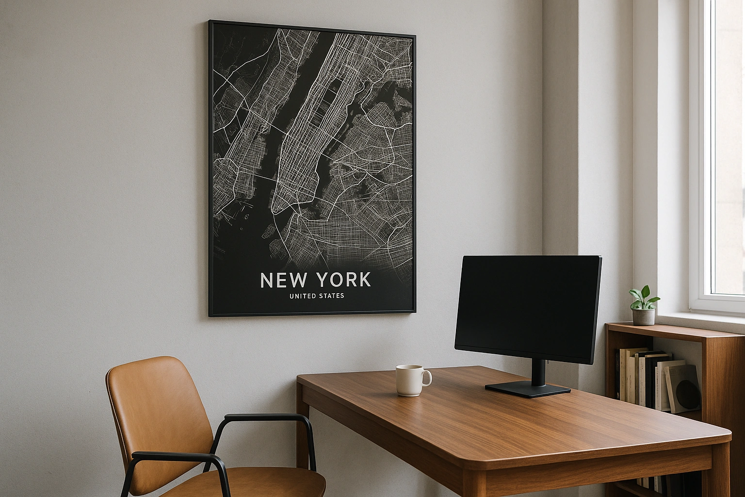
Charleston Map Poster
Frame the Battery, harbour, South of Broad streets, King Street walks, or the Lowcountry place that stayed with you.
Digital from $4.99 · Prints from $24.99 · US shipping
- Digital download available
- Printed and shipped in the US
- Framed and canvas options
- Fine art print options
- Secure checkout
Map an exact place
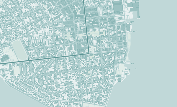
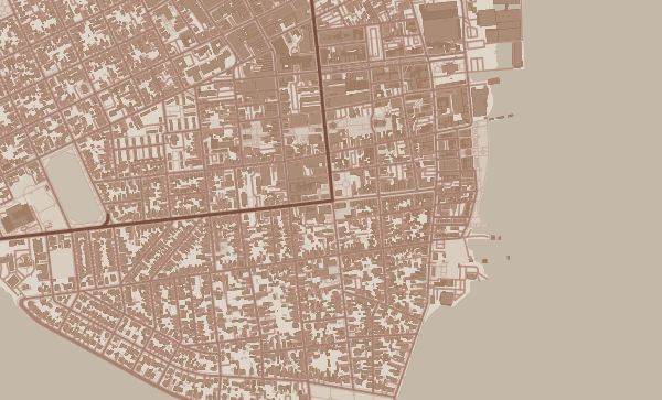
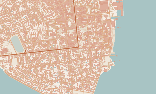
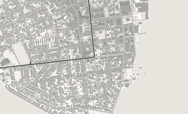
Charleston works beautifully as a custom map because the peninsula, harbour, and historic street grid make the city easy to recognise. South of Broad, the Battery, the French Quarter, Harleston Village, and King Street each carry a different kind of memory: wedding weekends, college years, family trips, first homes, and Lowcountry summers.
Start with your location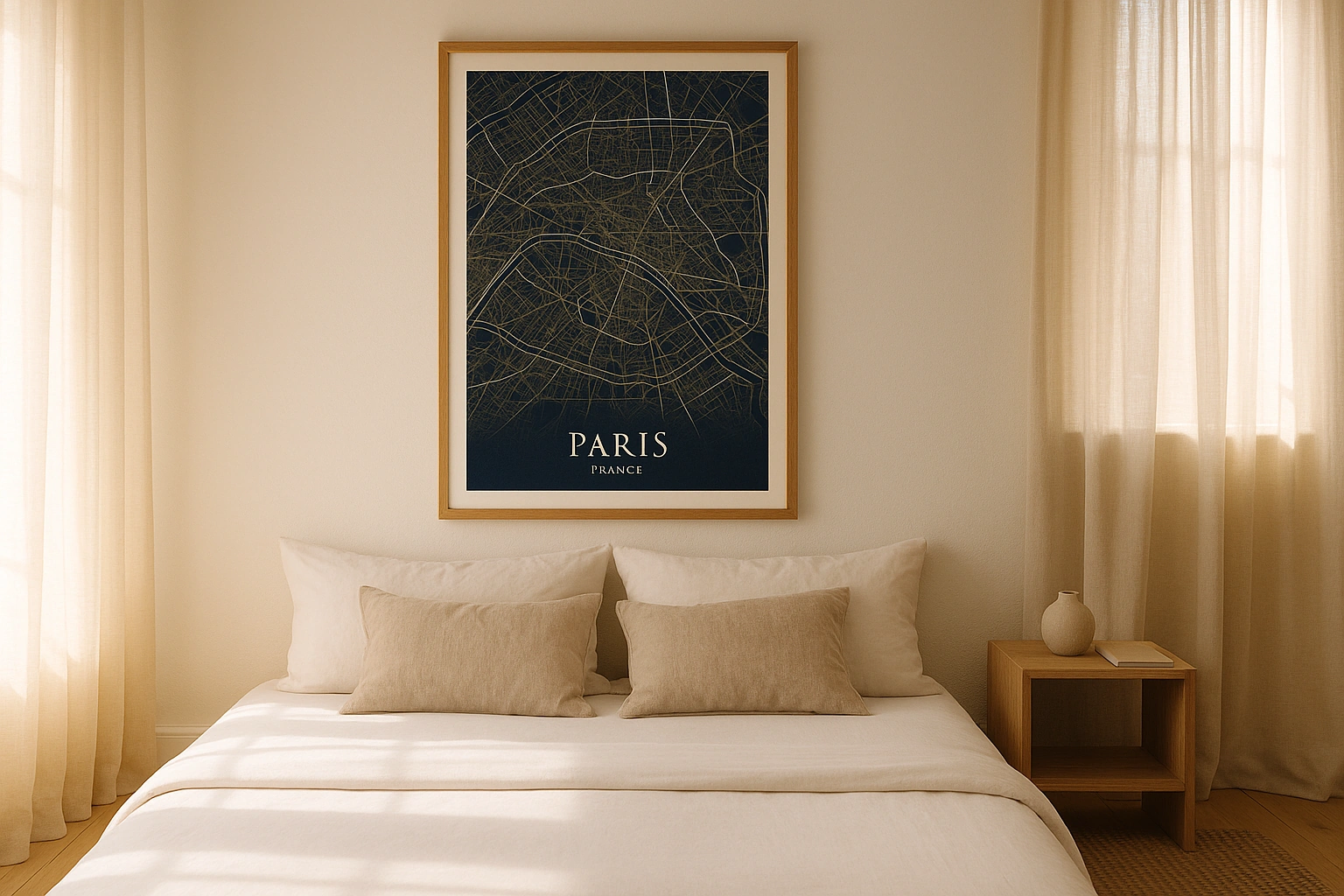
Charleston in every style
The same streets, completely different moods. Choose a look that matches your space.
Use the Peninsula Shape
A crop that includes both rivers and the Battery gives a Charleston poster its classic shape. It is especially good for wedding gifts and travel memories because the harbour and peninsula instantly set the scene. Warmer palettes suit Charleston's brick, porch, and garden feeling without needing illustration.
Neighbourhood Crops That Feel Personal
South of Broad feels quiet and classic, the French Quarter is compact and historic, Harleston Village works well for residential memories, and Upper King gives a more energetic city crop. If the poster is for a couple, centre it on the venue or hotel street and add the date.
Charleston Poster Wording
Use "Charleston," "South of Broad," coordinates, a wedding date, or a short line like "Lowcountry weekend." The map already carries the harbour and historic grid; the text should simply identify the memory.
Neighborhoods
Jump straight into an iconic Charleston neighborhood and start designing.
Gift ideas
Make it personal for the moments that matter.
Questions
Answers about customizing and ordering a Charleston map poster.
Can I customize a Charleston map poster?
Yes. Choose the map crop, color theme, text, coordinates, labels, and print format before ordering.
Which parts of Charleston can I map?
You can start with places like South of Broad, French Quarter, and Harleston Village, or search for any address, landmark, or neighborhood.
What formats are available?
Digital downloads are available instantly. Fine art prints, framed posters, and canvas prints are available for US shipping where the selected size supports them.
Ready to create your Charleston poster?
Choose your theme, zoom into your favorite street, and make it yours.
Start designing