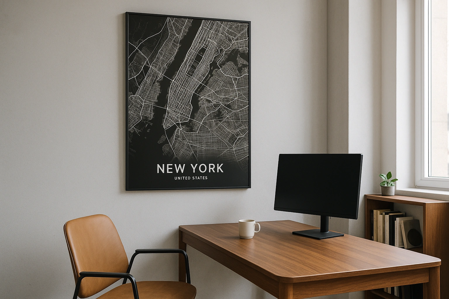
Montreal Map Poster
A city built on an island in the St. Lawrence, crowned by a mountain — where French and English grids collide.
Digital from $4.99 · Prints from $24.99 · US shipping
- Digital download available
- Printed and shipped in the US
- Framed and canvas options
- Fine art print options
- Secure checkout
Map an exact place
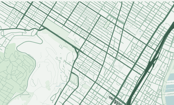
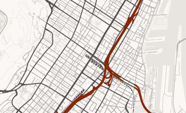
Montreal is an island city, and the map never lets you forget it. The St. Lawrence River and the Riviere des Prairies surround it completely, creating a distinct, bounded shape that's rare for a major metropolis. Mont Royal rises from the centre like a green fist, its forested slopes disrupting the street grid in every direction. The city's dual heritage is visible in the map itself — the French-era streets near the Old Port follow the river's curve, while the English-influenced grid of the Golden Square Mile marches up the mountain's flank with Victorian determination.
Start with your location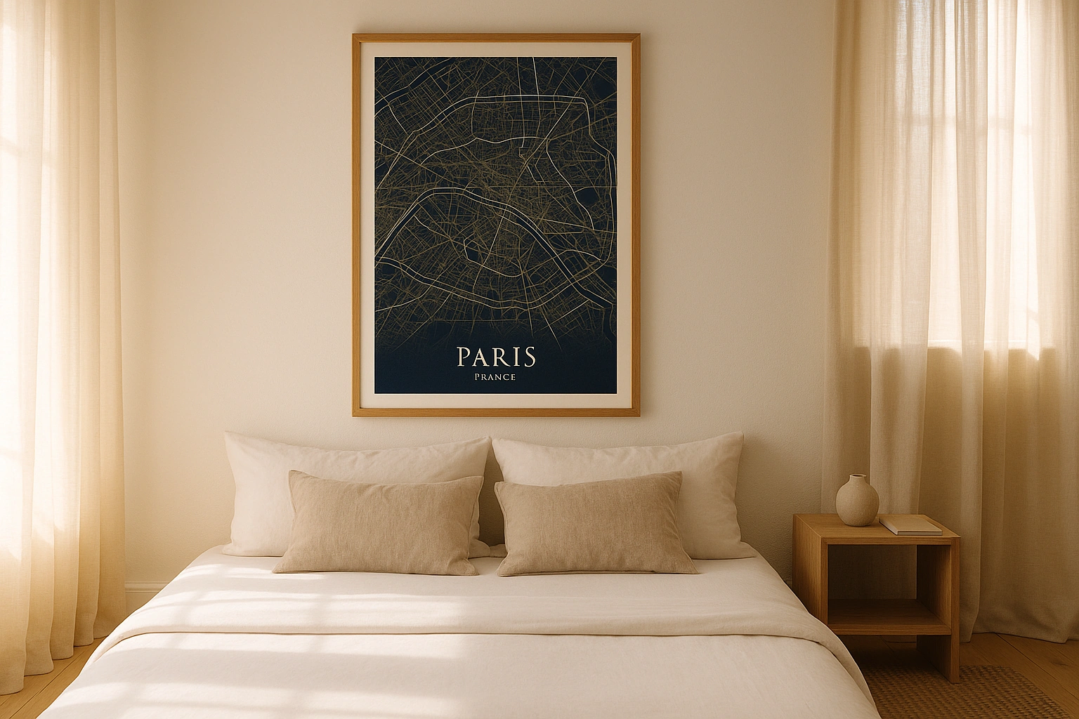
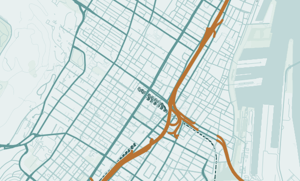
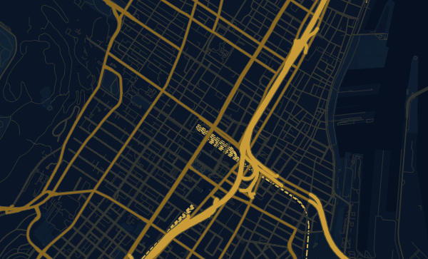
Montreal in every style
The same streets, completely different moods. Choose a look that matches your space.
Mont Royal — The Mountain in the City
Mont Royal is Montreal's geographic and spiritual centre — a 233-metre volcanic hill whose park-covered slopes appear on the map as a massive green interruption in the urban grid. Streets bend around it, avenues stop at its base, and the entire city orients itself in relation to this summit. The Forest theme makes the mountain the visual anchor of any Montreal poster, its green mass radiating calm through the surrounding density.
The St. Lawrence and the Old Port
The St. Lawrence River forms Montreal's southern edge, and the Old Port district meets it with streets laid out in the 17th century — narrow, river-following, distinctly French. The Lachine Canal extends this waterway inland, creating a secondary water corridor through the city's southwest. In the Copper Patina theme, these historic waterways take on the aged quality of a colonial-era navigation chart.
Your Montreal, Bilingual and Beautiful
The Plateau's iconic staircased row houses. Mile End's creative grid. Westmount's mountain-climbing avenues. Verdun's riverside blocks. Montreal's neighbourhoods are as diverse as its languages. Zoom into the quartier that holds your memories — the dep on the corner, the park where you spent summer evenings — and choose a palette as distinctive as the city itself.
Neighborhoods
Jump straight into an iconic Montreal neighborhood and start designing.
Gift ideas
Make it personal for the moments that matter.
Questions
Answers about customizing and ordering a Montreal map poster.
Can I customize a Montreal map poster?
Yes. Choose the map crop, color theme, text, coordinates, labels, and print format before ordering.
Which parts of Montreal can I map?
You can start with places like Plateau Mont-Royal, Mile End, and Old Montreal, or search for any address, landmark, or neighborhood.
What formats are available?
Digital downloads are available instantly. Fine art prints, framed posters, and canvas prints are available for US shipping where the selected size supports them.
Ready to create your Montreal poster?
Choose your theme, zoom into your favorite street, and make it yours.
Start designing