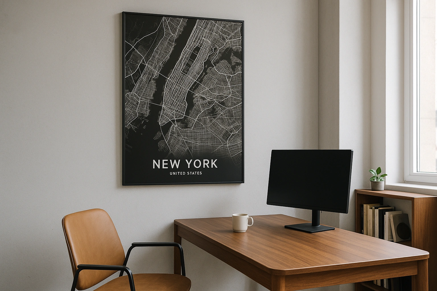
Toronto Map Poster
Lake Ontario's northern shore, a ravine-laced plateau, and one of the longest street grids in North America.
Digital from $4.99 · Prints from $24.99 · US shipping
- Digital download available
- Printed and shipped in the US
- Framed and canvas options
- Fine art print options
- Secure checkout
Map an exact place
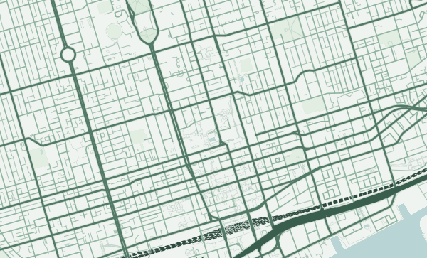
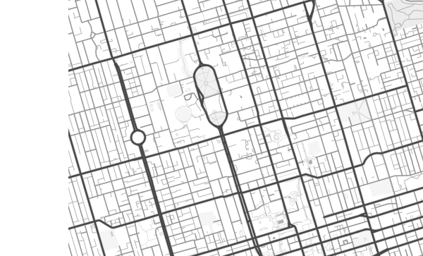
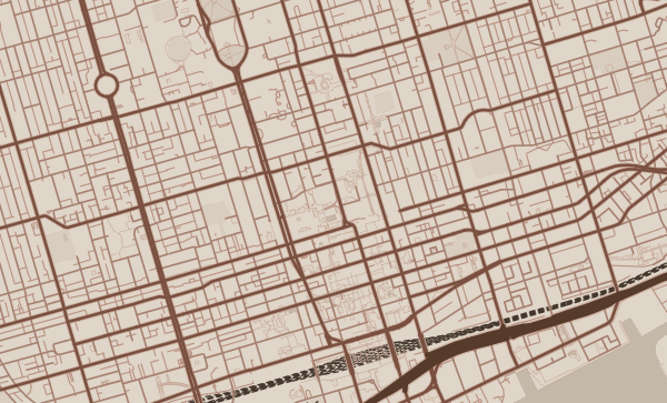
Toronto's map is anchored by Lake Ontario's straight northern shoreline, which gives the city a firm southern edge. From there, the grid extends northward with a persistence that's almost prairie-like — Yonge Street, the city's spine, runs for over 50 kilometres. But the grid is interrupted by something unexpected: a vast system of wooded ravines that cut through the city like cracks in a table, carrying rivers and creeks to the lake. These ravines are Toronto's cartographic secret — invisible from street level, unmistakable on a map.
Start with your location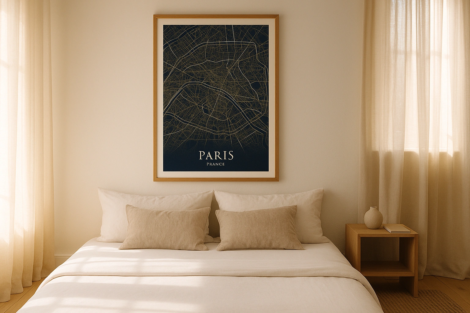
Toronto in every style
The same streets, completely different moods. Choose a look that matches your space.
The Ravine City
Toronto's ravine system is one of the most remarkable natural features hidden in any major city. The Don Valley, the Humber River valley, and dozens of smaller ravines cut deep green corridors through the urban grid, visible on any map as winding organic shapes interrupting the straight streets. The Forest theme makes these ravines the dominant feature, transforming Toronto's map into something half-urban, half-wild.
Yonge Street and the Infinite Grid
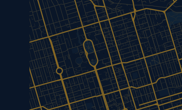
Yonge Street divides Toronto into east and west, and on a map it reads as an unbroken line stretching from the waterfront to the northern suburbs and beyond. The cross streets — Bloor, St. Clair, Eglinton, Lawrence — mark off the grid like mile markers. The regularity is almost meditative. In the Midnight Blue theme, this vast grid becomes a quiet, contemplative pattern of light on dark.
Your Toronto, Mapped
The Annex's Victorian streetscape. Kensington Market's tight, irregular blocks. Leslieville's east-end grid. Roncesvalles' village-scaled High Street. Toronto is a city of neighbourhoods, each with a fierce identity. Zoom into yours, centre on your favourite park or intersection, and create a poster that's as distinctly Toronto as a streetcar on Queen Street.
Neighborhoods
Jump straight into an iconic Toronto neighborhood and start designing.
Gift ideas
Make it personal for the moments that matter.
Questions
Answers about customizing and ordering a Toronto map poster.
Can I customize a Toronto map poster?
Yes. Choose the map crop, color theme, text, coordinates, labels, and print format before ordering.
Which parts of Toronto can I map?
You can start with places like The Annex, Kensington Market, and Leslieville, or search for any address, landmark, or neighborhood.
What formats are available?
Digital downloads are available instantly. Fine art prints, framed posters, and canvas prints are available for US shipping where the selected size supports them.
Ready to create your Toronto poster?
Choose your theme, zoom into your favorite street, and make it yours.
Start designing