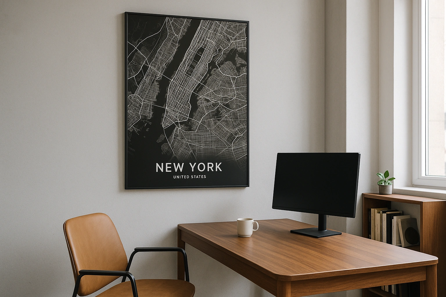
Minneapolis Map Poster
The Mississippi carves a gorge, a chain of lakes dots the grid, and the city's geometry is as crisp as a Minnesota winter.
Digital from $4.99 · Prints from $24.99 · US shipping
- Digital download available
- Printed and shipped in the US
- Framed and canvas options
- Fine art print options
- Secure checkout
Map an exact place
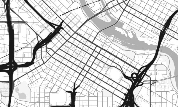
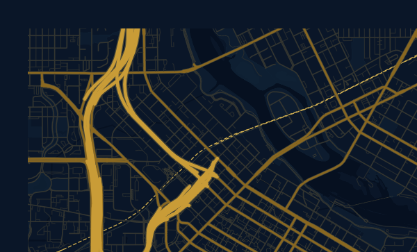
Minneapolis's map is defined by two things: water and geometry. The Mississippi River cuts diagonally through the city, creating a dramatic gorge lined with limestone bluffs — the only true gorge on the entire Mississippi. To the southwest, the Chain of Lakes — Lake Harriet, Lake Calhoun (Bde Maka Ska), Lake of the Isles, Cedar Lake — creates a necklace of blue ovals connected by parkways. The street grid is rigorous, the parks abundant, and the overall map has a clarity and order that feels distinctly Minnesotan.
Start with your location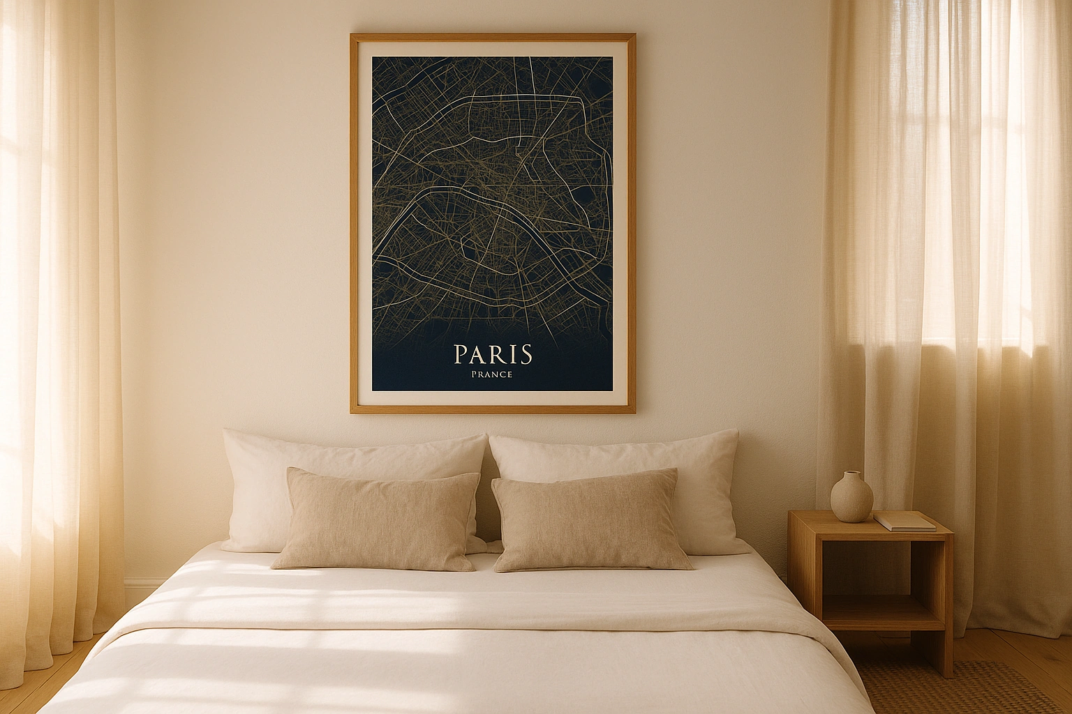
Minneapolis in every style
The same streets, completely different moods. Choose a look that matches your space.
The Mississippi Gorge
Most cities sit on the Mississippi's floodplain. Minneapolis sits above it. The river has carved a deep gorge through the city, with St. Anthony Falls at its heart — the only major waterfall on the entire Mississippi, and the reason Minneapolis exists. On a map, the gorge is a dramatic diagonal slash through the grid, lined with parkland. The Contrast theme makes this geological feature the star of the poster, the dark river channel cutting through the ordered streets.
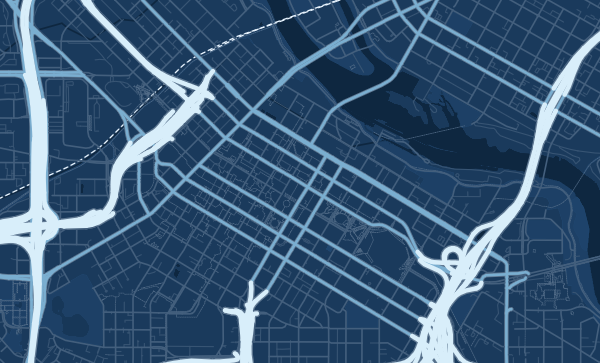
The Chain of Lakes
Few cities can match Minneapolis for urban lakes. The Chain of Lakes system appears on the map as a series of blue ovals in the southwestern quadrants, each one ringed by parkway and connected to the next by green corridors. The Grand Rounds Scenic Byway links them all in a continuous loop. In the Blueprint theme, these lakes become luminous voids in the grid — moments of calm in an otherwise precise urban fabric.
Your Minneapolis, Your Map
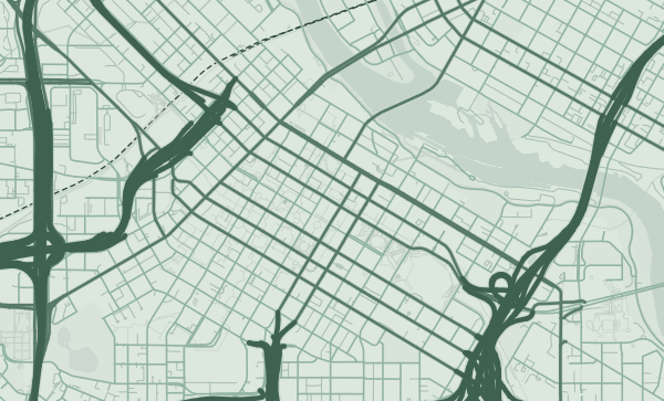
Uptown's walkable blocks near the lakes. Northeast's arts district along the river. The North Loop's warehouse conversions. Linden Hills' village charm. Whether you're a lifelong Minnesotan or you spent four transformative years at the U of M, zoom in and frame the streets that mean the most. The Sage theme captures the city's green-and-blue character perfectly.
Neighborhoods
Jump straight into an iconic Minneapolis neighborhood and start designing.
Gift ideas
Make it personal for the moments that matter.
Questions
Answers about customizing and ordering a Minneapolis map poster.
Can I customize a Minneapolis map poster?
Yes. Choose the map crop, color theme, text, coordinates, labels, and print format before ordering.
Which parts of Minneapolis can I map?
You can start with places like Uptown, North Loop, and Northeast, or search for any address, landmark, or neighborhood.
What formats are available?
Digital downloads are available instantly. Fine art prints, framed posters, and canvas prints are available for US shipping where the selected size supports them.
Ready to create your Minneapolis poster?
Choose your theme, zoom into your favorite street, and make it yours.
Start designing