Denver Map Poster
The Great Plains meet the Rocky Mountain front, and a city grid rises at 5,280 feet.
Digital from $4.99 · Prints from $24.99 · US shipping
- Digital download available
- Printed and shipped in the US
- Framed and canvas options
- Fine art print options
- Secure checkout
Map an exact place
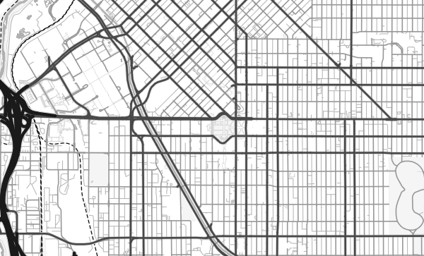
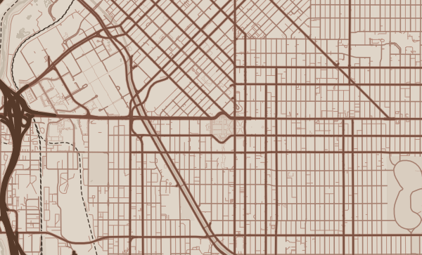
Denver's map sits at one of the great geographic transitions in North America — where the flat expanse of the Great Plains collides with the abrupt wall of the Rocky Mountains. The city's street grid is famously split: downtown's original plat is angled to align with the South Platte River and Cherry Creek, while the surrounding city follows a strict north-south orientation. This collision of grids creates a distinctive diamond-shaped downtown that's instantly recognisable from above. The Rockies loom to the west, invisible on the map but present in everything.
Start with your location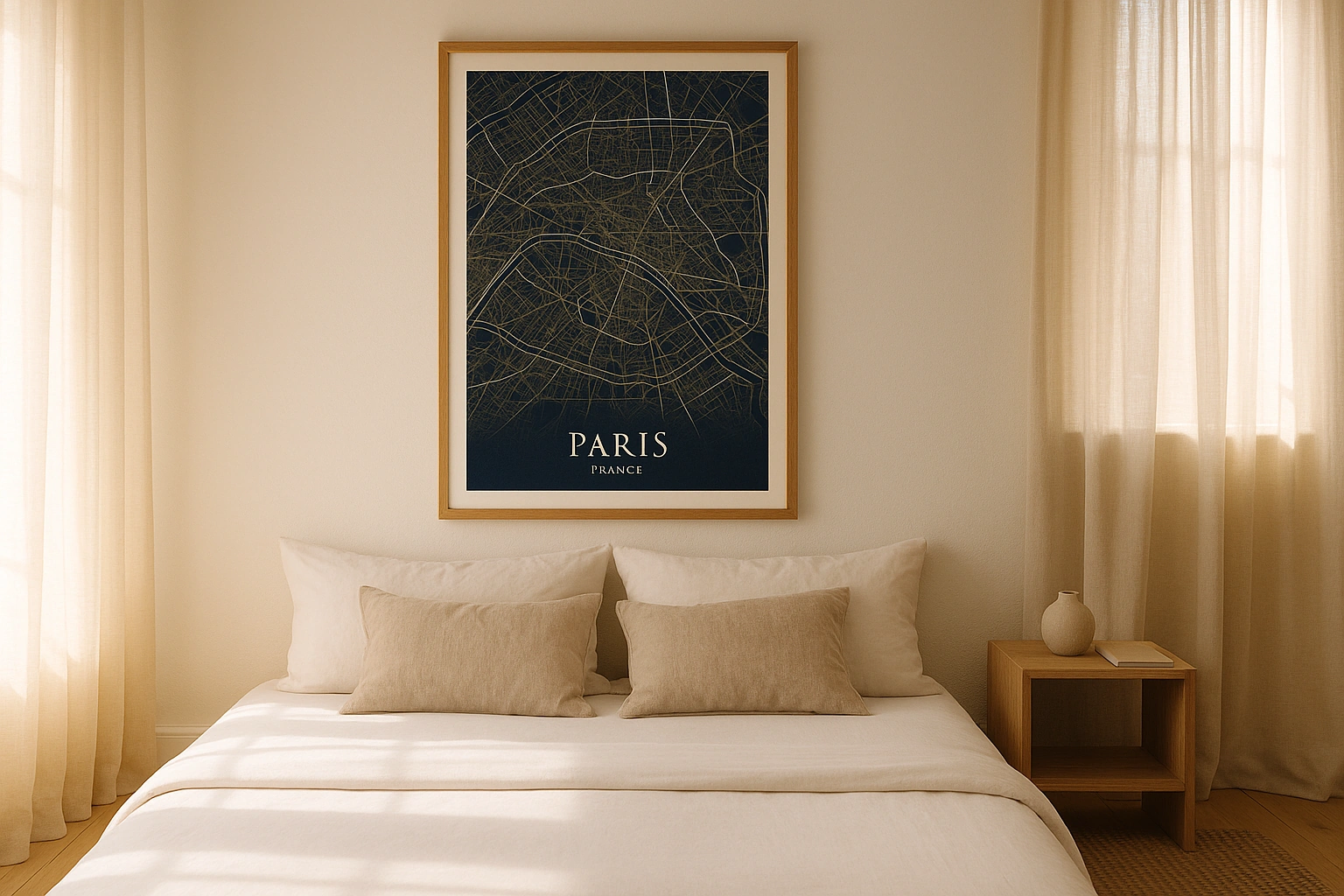
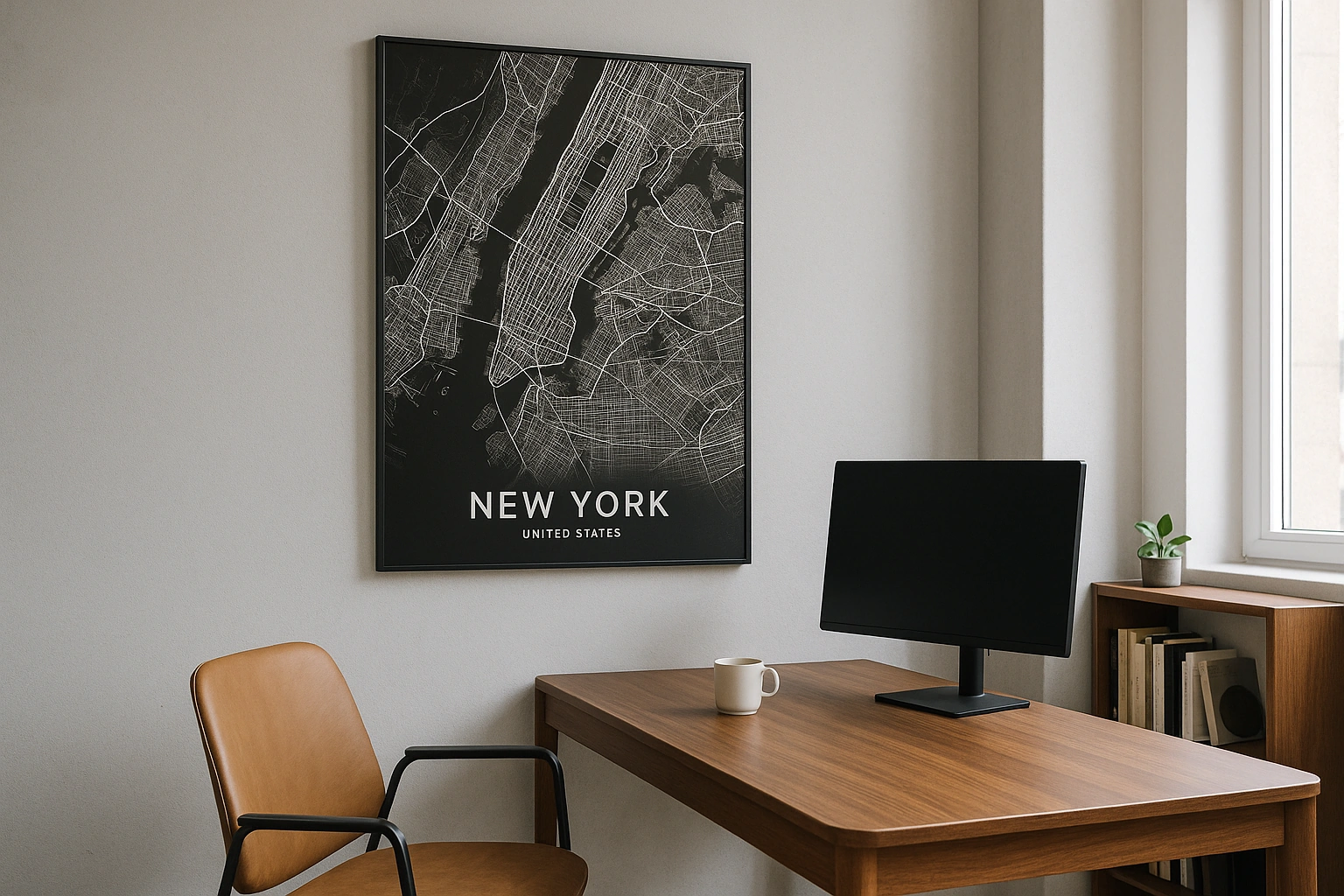
Denver in every style
The same streets, completely different moods. Choose a look that matches your space.
The Duelling Grids
Denver's most distinctive cartographic feature is the 45-degree clash between the downtown grid — aligned with the confluence of Cherry Creek and the South Platte River — and the surrounding city grid oriented to true north. Where these two systems collide, streets create sharp angles and triangular blocks that give Denver's map a dynamic energy. The Contrast theme makes this collision vivid, highlighting the geometric tension.
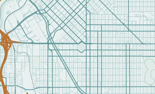
Rivers Through the Plains
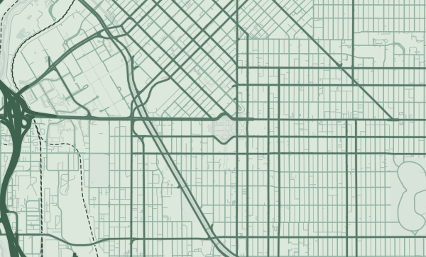
The South Platte River and Cherry Creek converge at the heart of Denver, their paths visible on the map as green corridors cutting through the urban grid. The Platte River Trail follows the water north, while Cherry Creek Trail heads southeast. These waterways give the map its organic counterpoint to the rigid grid. In the Copper Patina theme, the rivers take on a weathered, western quality — like a trail map from another era.
From LoDo to Your Neighbourhood
Lower Downtown's warehouse blocks. Capitol Hill's dense apartments. Park Hill's tree-lined avenues. Five Points' historic grid. Denver's neighbourhoods each tell a different story on the map. Centre your poster on the streets you know best — and with the Rockies in your mind if not on the page, choose a palette that captures Colorado's spirit.
Neighborhoods
Jump straight into an iconic Denver neighborhood and start designing.
Gift ideas
Make it personal for the moments that matter.
Questions
Answers about customizing and ordering a Denver map poster.
Can I customize a Denver map poster?
Yes. Choose the map crop, color theme, text, coordinates, labels, and print format before ordering.
Which parts of Denver can I map?
You can start with places like LoDo, Capitol Hill, and Five Points, or search for any address, landmark, or neighborhood.
What formats are available?
Digital downloads are available instantly. Fine art prints, framed posters, and canvas prints are available for US shipping where the selected size supports them.
Ready to create your Denver poster?
Choose your theme, zoom into your favorite street, and make it yours.
Start designing