Houston Map Poster
A city built on a coastal plain, threaded by bayous — vast, flat, and defiantly unbounded.
Digital from $4.99 · Prints from $24.99 · US shipping
- Digital download available
- Printed and shipped in the US
- Framed and canvas options
- Fine art print options
- Secure checkout
Map an exact place
Houston's map is a study in scale. The city sprawls across a vast, flat coastal plain with almost no topographic relief, its grid extending in every direction without the natural boundaries that constrain most cities. What gives the map its character is water — not the ocean (the coast is 50 miles southeast) but the bayou system. Buffalo Bayou winds through downtown, Brays Bayou cuts through the south, and dozens of smaller waterways create a network of green corridors threading through the endless grid. It is a map of ambition unrestrained by geography.
Start with your location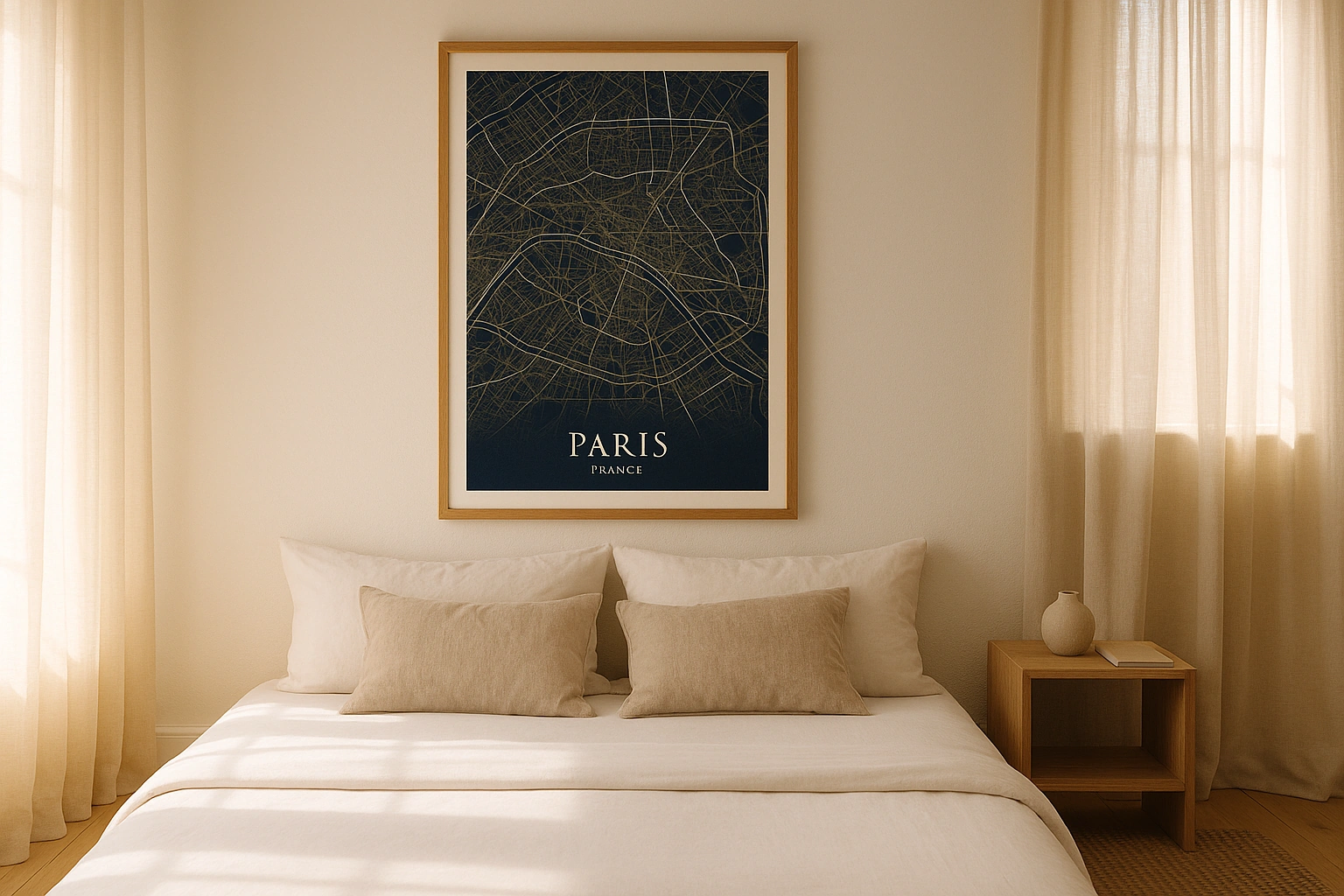
Houston in every style
The same streets, completely different moods. Choose a look that matches your space.
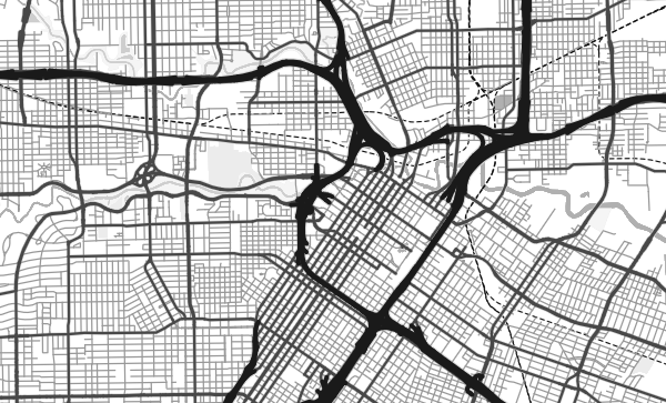
The Bayou Network
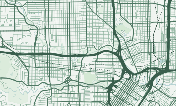
Buffalo Bayou is Houston's founding waterway, winding from the west through Memorial Park, past downtown, and eastward to the Ship Channel and Galveston Bay. On a map, the bayous appear as sinuous green lines cutting through the rigid street grid — organic counterpoints to Houston's engineered sprawl. The Forest theme makes these waterways the visual backbone of the poster, green threads stitching together a vast urban fabric.
The Unbounded Grid
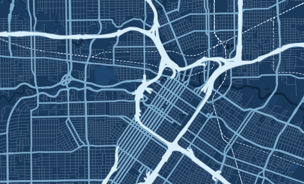
Houston is famously the largest American city with no zoning laws, and the map reflects this — the grid extends without interruption, without obvious centres or edges, for mile after mile. The Loop (Interstate 610) and the Beltway (Sam Houston Tollway) create concentric rings that are the closest thing to boundaries the map offers. In the Blueprint theme, this vast, flat grid becomes almost hypnotic — a repeating pattern that stretches to the horizon.
Find Your Houston in the Sprawl
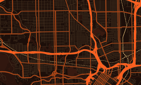
The Heights' bungalow grid. Montrose's eclectic blocks. The Museum District's institutional campus. Third Ward's historically rich streets. EaDo's warehouse conversions. Houston is enormous, but everyone's Houston is specific — a neighbourhood, a block, a bayou trail. Zoom in, centre on your corner of Space City, and choose a palette that matches its energy. The Heatwave theme captures Houston's Gulf Coast intensity perfectly.
Neighborhoods
Jump straight into an iconic Houston neighborhood and start designing.
Gift ideas
Make it personal for the moments that matter.
Questions
Answers about customizing and ordering a Houston map poster.
Can I customize a Houston map poster?
Yes. Choose the map crop, color theme, text, coordinates, labels, and print format before ordering.
Which parts of Houston can I map?
You can start with places like The Heights, Montrose, and Museum District, or search for any address, landmark, or neighborhood.
What formats are available?
Digital downloads are available instantly. Fine art prints, framed posters, and canvas prints are available for US shipping where the selected size supports them.
Ready to create your Houston poster?
Choose your theme, zoom into your favorite street, and make it yours.
Start designing