Vancouver Map Poster
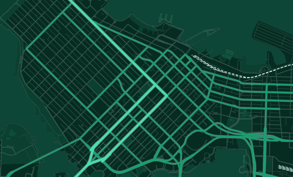
A city peninsula between English Bay and Burrard Inlet, with the North Shore mountains rising like a wall beyond.
Digital from $4.99 · Prints from $24.99 · US shipping
- Digital download available
- Printed and shipped in the US
- Framed and canvas options
- Fine art print options
- Secure checkout
Map an exact place
Vancouver may have the most dramatically situated map of any city in the world. The downtown peninsula juts into Burrard Inlet, capped by the magnificent green circle of Stanley Park. English Bay opens to the west. False Creek cuts an inlet deep into the city. And beyond the water, the North Shore mountains rise with startling immediacy. The city grid is squeezed onto a series of points and peninsulas, every street a few blocks from water. It is a map where nature dominates and the city negotiates its place.
Start with your location
Vancouver in every style
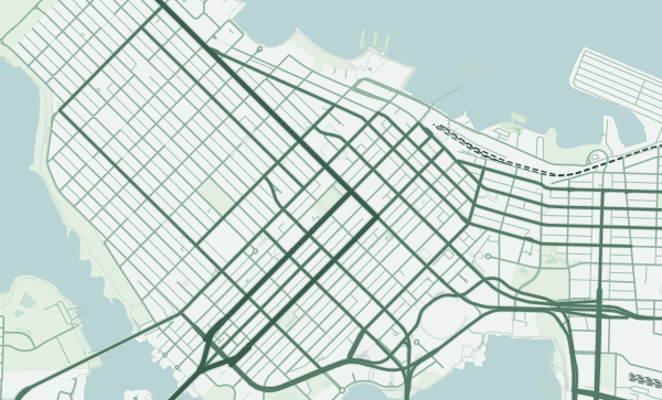
The same streets, completely different moods. Choose a look that matches your space.
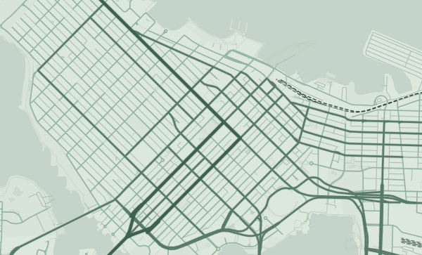
Stanley Park — The Green Crown
Stanley Park is the defining shape on Vancouver's map — a 1,000-acre peninsula of ancient forest jutting into the harbour, connected to downtown by a narrow neck of land. The seawall that rings it creates a perfect green oval at the tip of the city. No other downtown park commands its map the way Stanley Park does. The Emerald City theme makes this green crown glow against the surrounding blue of the harbour and inlet.
Water Everywhere
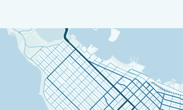
Burrard Inlet, English Bay, False Creek, the Fraser River — Vancouver is a city of waterways, and the map is more blue than most. The Granville, Burrard, and Cambie bridges span False Creek like rungs on a ladder. The Lions Gate Bridge leaps across the First Narrows to the North Shore. In the Ocean theme, the water becomes the protagonist, and the city reads as a series of land fragments held together by bridges.
Your Vancouver View
Kitsilano's beachside grid. Commercial Drive's east-side vitality. Gastown's historic blocks. Kerrisdale's leafy residential streets. Vancouver is compact enough that every neighbourhood feels close to water and mountains. Zoom into your block, your beach, your favourite mountain viewpoint, and choose a palette that captures the West Coast light.
Neighborhoods
Jump straight into an iconic Vancouver neighborhood and start designing.
Gift ideas
Make it personal for the moments that matter.
Questions
Answers about customizing and ordering a Vancouver map poster.
Can I customize a Vancouver map poster?
Yes. Choose the map crop, color theme, text, coordinates, labels, and print format before ordering.
Which parts of Vancouver can I map?
You can start with places like Kitsilano, Gastown, and Commercial Drive, or search for any address, landmark, or neighborhood.
What formats are available?
Digital downloads are available instantly. Fine art prints, framed posters, and canvas prints are available for US shipping where the selected size supports them.
Ready to create your Vancouver poster?
Choose your theme, zoom into your favorite street, and make it yours.
Start designing