Portland Map Poster
The Willamette River divides east from west, twelve bridges stitch them together — and the forest starts at the city limit.
Digital from $4.99 · Prints from $24.99 · US shipping
- Digital download available
- Printed and shipped in the US
- Framed and canvas options
- Fine art print options
- Secure checkout
Map an exact place
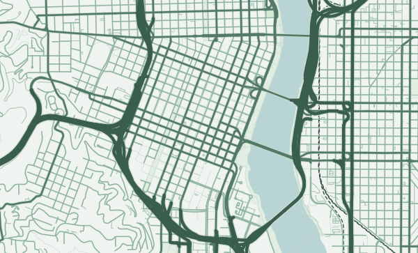
Portland's map is a study in duality. The Willamette River runs north through the centre, dividing the city into distinct east and west halves connected by twelve bridges. The west side is compressed against the Tualatin Mountains — home to Forest Park, one of the largest urban forests in the country. The east side spreads out in a generous, walkable grid of small blocks. The Columbia River forms the northern border. It is a city framed by rivers and defined by the tension between the urban and the wild.
Start with your location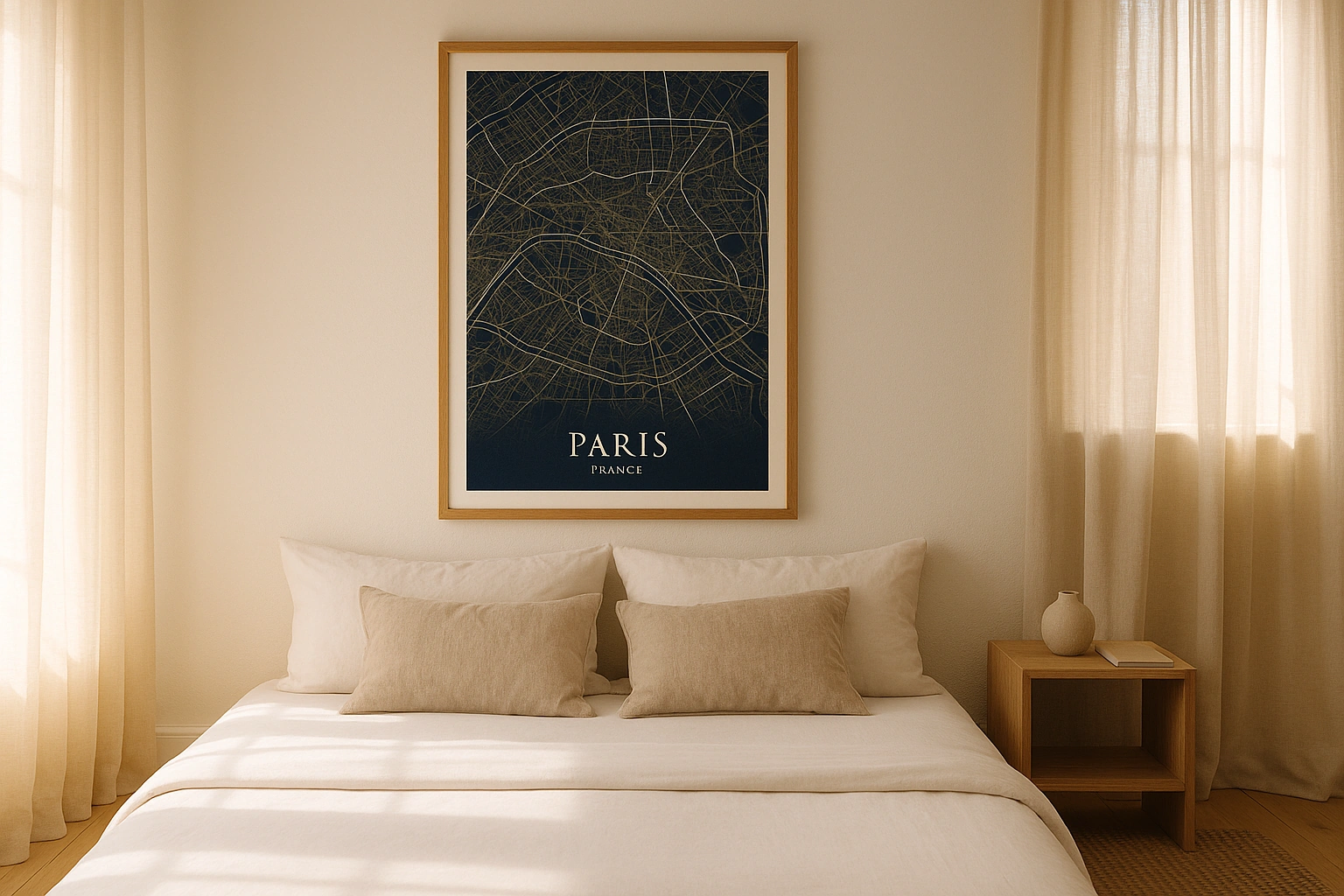
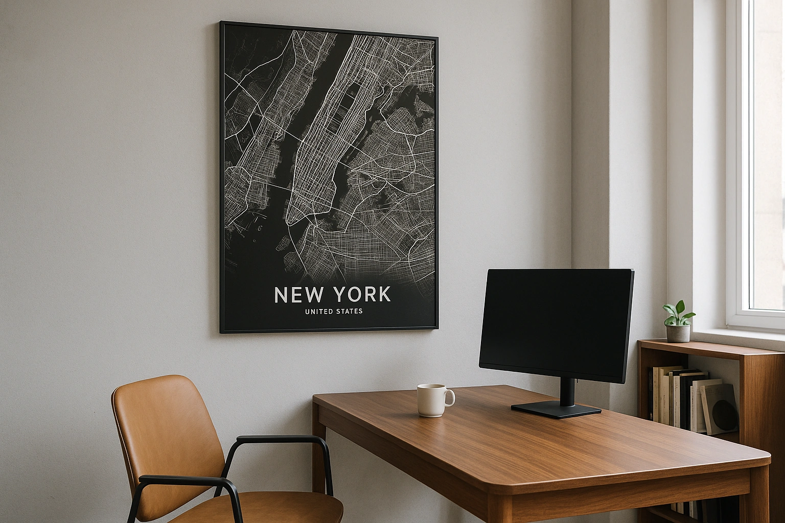
Portland in every style
The same streets, completely different moods. Choose a look that matches your space.
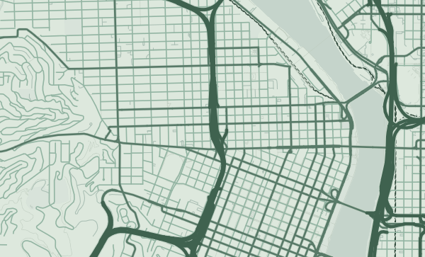
The Bridge City
Twelve bridges cross the Willamette through Portland, and on a map they appear as a remarkable ladder of crossings — Burnside, Morrison, Hawthorne, Ross Island, Sellwood, and the iconic St. Johns Bridge to the north. Each bridge has a different character, and together they give Portland's map its most distinctive feature. The Forest theme renders the surrounding green in rich, layered tones that frame the river beautifully.
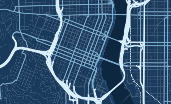
The 200-Foot Block
Portland's downtown blocks are famously small — 200 feet square, roughly half the size of a typical American city block. On a map, this creates an unusually fine-grained texture in the city centre, a dense weave of streets that looks almost European in its intimacy. The east side's grid is larger but equally consistent. In the Blueprint theme, this fine grid becomes a precise, almost textile pattern.
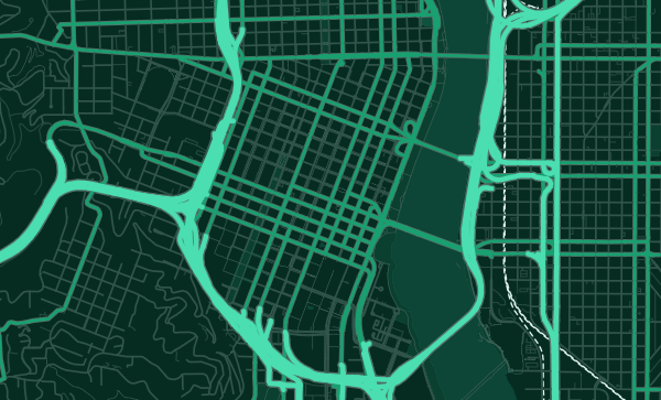
Nature on the Doorstep
Forest Park's 5,200 acres appear on the western edge of any Portland map as a massive green wall. Toggle on terrain and you see why — the Tualatin Mountains rise steeply from the city. On the east side, Mount Tabor and Powell Butte add volcanic hills to the flat grid. Zoom into your favourite neighbourhood — Alberta, Hawthorne, Mississippi — and choose the Emerald City theme to honour Portland's green soul.
Neighborhoods
Jump straight into an iconic Portland neighborhood and start designing.
Gift ideas
Make it personal for the moments that matter.
Questions
Answers about customizing and ordering a Portland map poster.
Can I customize a Portland map poster?
Yes. Choose the map crop, color theme, text, coordinates, labels, and print format before ordering.
Which parts of Portland can I map?
You can start with places like Pearl District, Hawthorne, and Alberta Arts District, or search for any address, landmark, or neighborhood.
What formats are available?
Digital downloads are available instantly. Fine art prints, framed posters, and canvas prints are available for US shipping where the selected size supports them.
Ready to create your Portland poster?
Choose your theme, zoom into your favorite street, and make it yours.
Start designing