Mexico City Map Poster
A lake-bed metropolis encircled by mountains and volcanoes — twenty-two million people on the floor of a drained basin.
Digital from $4.99 · Prints from $24.99 · US shipping
- Digital download available
- Printed and shipped in the US
- Framed and canvas options
- Fine art print options
- Secure checkout
Map an exact place
Mexico City's map conceals a secret: this was once a lake. The Aztec capital of Tenochtitlan sat on an island in Lake Texcoco, and the modern city fills the drained lake bed in a vast, flat basin surrounded by mountains and volcanoes. Paseo de la Reforma cuts a diagonal through the grid like a Parisian boulevard transplanted to the Valley of Mexico. Chapultepec Park forms an enormous green rectangle in the centre, and the ancient canal network of Xochimilco survives in the south. It is a map with layers of civilisation visible beneath the surface.
Start with your location
Mexico City in every style
The same streets, completely different moods. Choose a look that matches your space.
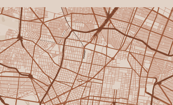
Paseo de la Reforma — The Diagonal
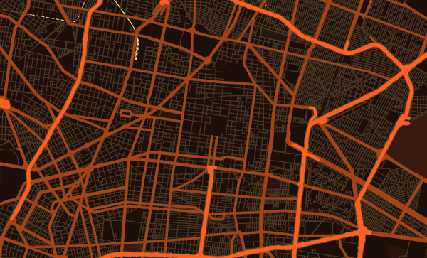
Reforma is Mexico City's grand gesture — a diagonal avenue inspired by the Champs-Élysées that slashes through the regular grid from Chapultepec to the Zócalo. On the map, it creates dramatic triangular intersections and organises the city's most important landmarks along its length. In the Heatwave theme, this boulevard glows like a river of amber through the cooler surrounding grid.
Chapultepec — The Urban Forest
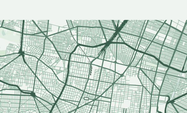
At over 680 hectares, Chapultepec Park is one of the largest urban parks in the Western Hemisphere. On the map, it appears as an extraordinary green void — a forest in the heart of one of the world's largest cities. Its irregular, organic shape contrasts beautifully with the surrounding grid. The Forest theme makes Chapultepec the centrepiece of your poster, a green lung breathing life into the concrete basin.
From the Zócalo to Coyoacán
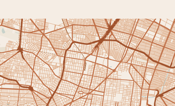
The ancient Zócalo plaza, Roma's art-deco grid, Condesa's circular streets built on a former racetrack, Coyoacán's colonial-village lanes — Mexico City's colonias are extraordinary in their variety. A custom map poster centred on your favourite neighbourhood is a love letter to one of the world's most layered cities. The Terracotta theme captures the warm volcanic earth tones of the Valley of Mexico.
Neighborhoods
Jump straight into an iconic Mexico City neighborhood and start designing.
Gift ideas
Make it personal for the moments that matter.
Questions
Answers about customizing and ordering a Mexico City map poster.
Can I customize a Mexico City map poster?
Yes. Choose the map crop, color theme, text, coordinates, labels, and print format before ordering.
Which parts of Mexico City can I map?
You can start with places like Roma Norte, Condesa, and Coyoacan, or search for any address, landmark, or neighborhood.
What formats are available?
Digital downloads are available instantly. Fine art prints, framed posters, and canvas prints are available for US shipping where the selected size supports them.
Ready to create your Mexico City poster?
Choose your theme, zoom into your favorite street, and make it yours.
Start designing