Honolulu Map Poster
Volcanic ridges plunge to the Pacific, and between them a city unfolds — lush, compressed, impossibly beautiful.
Digital from $4.99 · Prints from $24.99 · US shipping
- Digital download available
- Printed and shipped in the US
- Framed and canvas options
- Fine art print options
- Secure checkout
Map an exact place
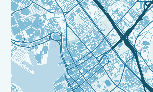
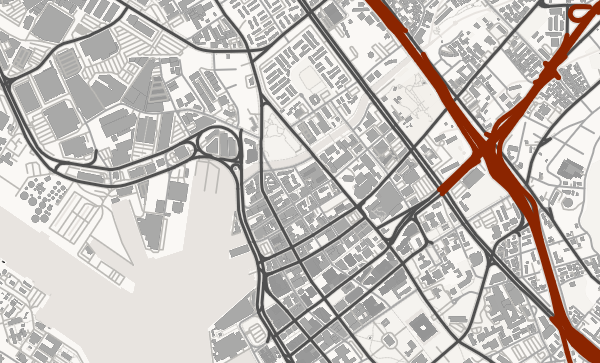
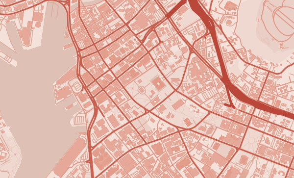
Honolulu's map is unlike any other American city. The Ko'olau mountain range forms a sheer green wall along the northeastern edge, its ridges and valleys radiating toward the coast like the fingers of an outstretched hand. The city is compressed into a narrow coastal plain between mountains and sea, with Diamond Head's iconic volcanic crater anchoring the eastern end. Waikiki's crescent beach, Pearl Harbor's deep inlet, and the dense grid of downtown Honolulu all occupy this thin strip of buildable land. It is a map where every inch was earned from the terrain.
Start with your location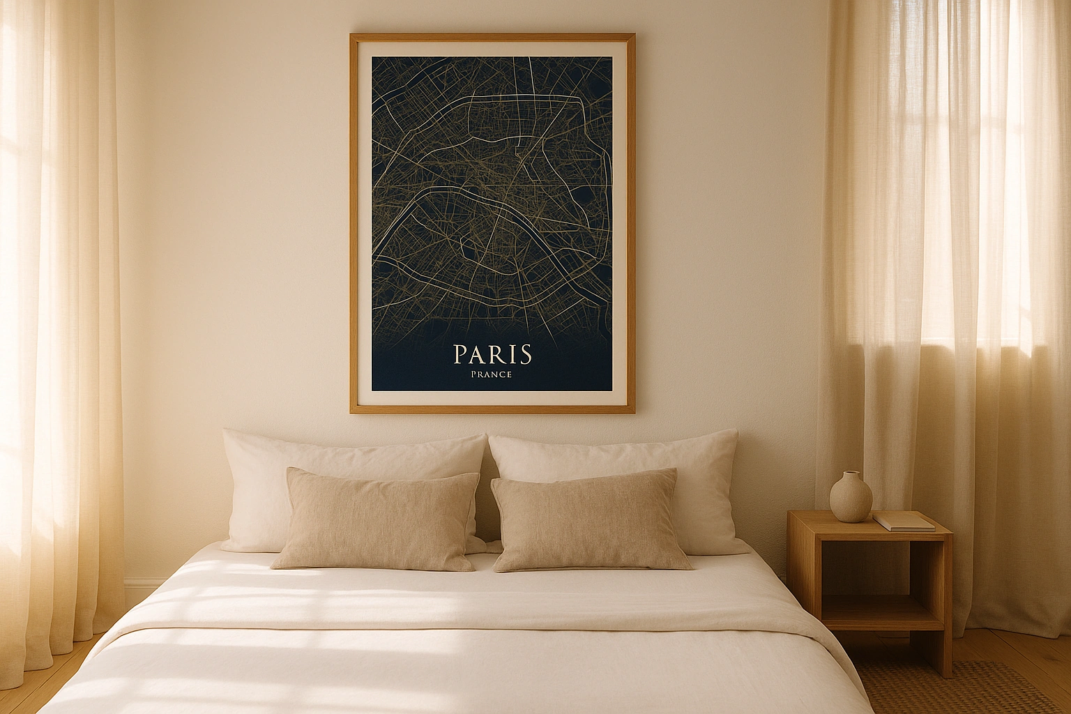
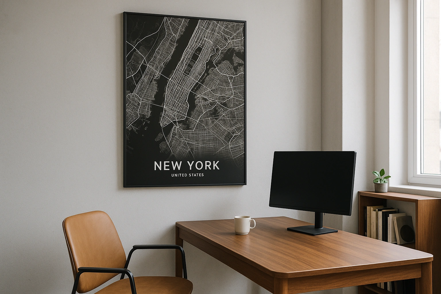
Honolulu in every style
The same streets, completely different moods. Choose a look that matches your space.
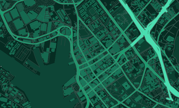
Diamond Head and the Volcanic Landscape
Diamond Head crater is the most recognisable shape on Honolulu's map — a near-perfect circle of ridgeline rising above Waikiki. But it's not alone. Punchbowl crater sits above downtown, and the Koko Head ridge extends to the east. These volcanic remnants give the map a dramatic topographic texture that no other American city can match. The Japanese Ink theme renders these landforms with the elegance of a woodblock print.
The Compressed Coast
Between the mountains and the ocean, Honolulu's grid is squeezed into a remarkably narrow strip. King Street and Beretania Street run parallel to the coast through the heart of the city, while mauka-makai streets run perpendicular. The Ala Wai Canal creates a sharp boundary around Waikiki. In the Ocean theme, the Pacific dominates the poster and the city reads as a vibrant edge between green mountains and blue water.
Your Island, Framed
Kaimuki's charming hillside grid. Manoa Valley's streets disappearing into the rainforest. Chinatown's dense historic blocks. Kahala's leafy residential lanes. Every Honolulu neighbourhood has a distinct relationship with the terrain. Zoom in, centre on your favourite beach or your first apartment, and choose a palette that captures the spirit of the islands.
Gift ideas
Make it personal for the moments that matter.
Questions
Answers about customizing and ordering a Honolulu map poster.
Can I customize a Honolulu map poster?
Yes. Choose the map crop, color theme, text, coordinates, labels, and print format before ordering.
Which parts of Honolulu can I map?
You can start with places like Waikiki, Manoa, and Kaimuki, or search for any address, landmark, or neighborhood.
What formats are available?
Digital downloads are available instantly. Fine art prints, framed posters, and canvas prints are available for US shipping where the selected size supports them.
Ready to create your Honolulu poster?
Choose your theme, zoom into your favorite street, and make it yours.
Start designing