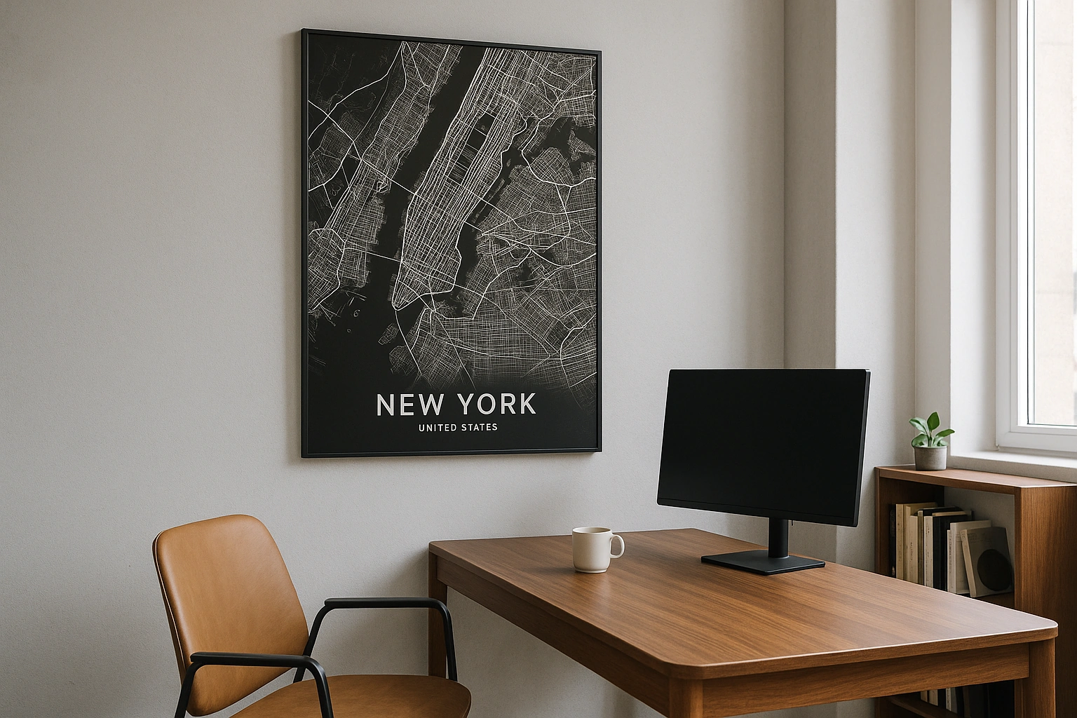
Tel Aviv Map Poster
A Bauhaus grid pressed against the Mediterranean, with the Yarkon River drawing a green line through the north.
Digital from $4.99 · Prints from $24.99 · US shipping
- Digital download available
- Printed and shipped in the US
- Framed and canvas options
- Fine art print options
- Secure checkout
Map an exact place
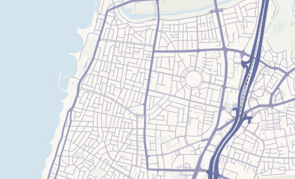
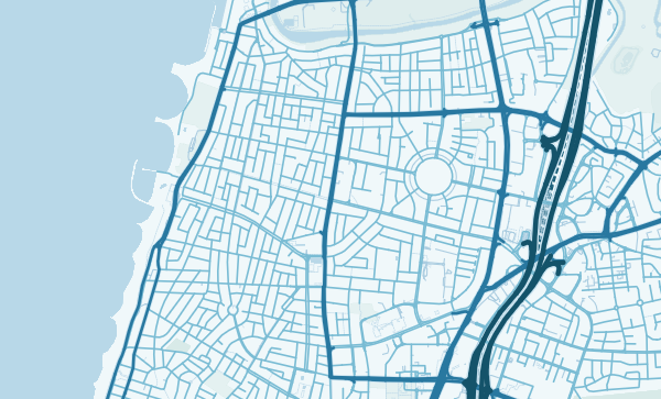
Tel Aviv's map is a modernist composition. The city's Bauhaus-era grid — the White City, now a UNESCO World Heritage site — creates a remarkably regular pattern of boulevards and side streets parallel to the Mediterranean coast. The seafront promenade runs the full western edge in a clean line, the Yarkon River defines the northern boundary with its parks and green banks, and old Jaffa curls around its ancient port to the south in a tangle of streets that predates everything else by millennia. It is a map of contrasts between ancient and modern, grid and tangle, city and sea.
Start with your location
Tel Aviv in every style
The same streets, completely different moods. Choose a look that matches your space.
The Coastal Edge
Tel Aviv's western boundary is a near-perfect line — kilometres of Mediterranean coastline running north to south, fringed by beaches and a continuous promenade. On a map, this clean edge contrasts beautifully with the urban density immediately behind it. In the Pastel Dream theme, the sea reads as a soft expanse and the city feels like it's basking in permanent golden-hour light.
Bauhaus Boulevard Grid
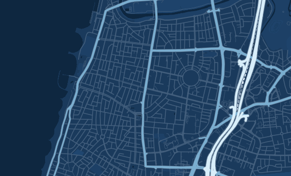
Rothschild Boulevard, Ben Yehuda, Dizengoff — Tel Aviv's main arteries run parallel and perpendicular with a clarity that reflects the city's planned origins in the 1920s and 30s. The blocks between them are filled with the UNESCO-listed Bauhaus buildings that give the city its White City nickname. The Blueprint theme transforms this grid into something almost like an architectural drawing — clean, precise, elegant.
From Jaffa to the Yarkon
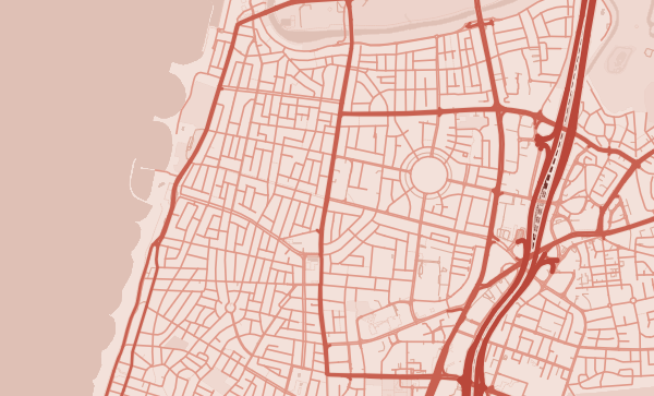
Ancient Jaffa's winding lanes, the flea market quarter of Shuk HaPishpeshim, the hipster cafes of Florentin, Neve Tzedek's restored charm — Tel Aviv's neighbourhoods stretch along the coast with distinct characters. A custom map poster centred on your favourite stretch of this city is a personal connection to one of the Mediterranean's most vibrant shorelines. The Coral theme captures the warmth.
Neighborhoods
Jump straight into an iconic Tel Aviv neighborhood and start designing.
Gift ideas
Make it personal for the moments that matter.
Questions
Answers about customizing and ordering a Tel Aviv map poster.
Can I customize a Tel Aviv map poster?
Yes. Choose the map crop, color theme, text, coordinates, labels, and print format before ordering.
Which parts of Tel Aviv can I map?
You can start with places like Neve Tzedek, Florentin, and Old Jaffa, or search for any address, landmark, or neighborhood.
What formats are available?
Digital downloads are available instantly. Fine art prints, framed posters, and canvas prints are available for US shipping where the selected size supports them.
Ready to create your Tel Aviv poster?
Choose your theme, zoom into your favorite street, and make it yours.
Start designing