Bogotá Map Poster
Pressed against the Andes at 2,640 metres, Bogotá's grid stretches north to south along a mountain wall — altitude as urban design.
Digital from $4.99 · Prints from $24.99 · US shipping
- Digital download available
- Printed and shipped in the US
- Framed and canvas options
- Fine art print options
- Secure checkout
Map an exact place
Bogotá's map is shaped by one overwhelming geographic fact: the Andes. The eastern mountain range rises abruptly at the city's eastern edge, creating a wall of green that defines the entire map. The city stretches north to south along this mountain front in a long, narrow corridor, with a regular grid that shifts and adapts to the terrain. Monserrate hill rises at the centre like an exclamation mark, the Bogotá River traces the southern boundary, and the vast Sabana de Bogotá plateau extends westward. It is a map of a city built on a high plateau, pressed against mountains, reaching for the sky.
Start with your location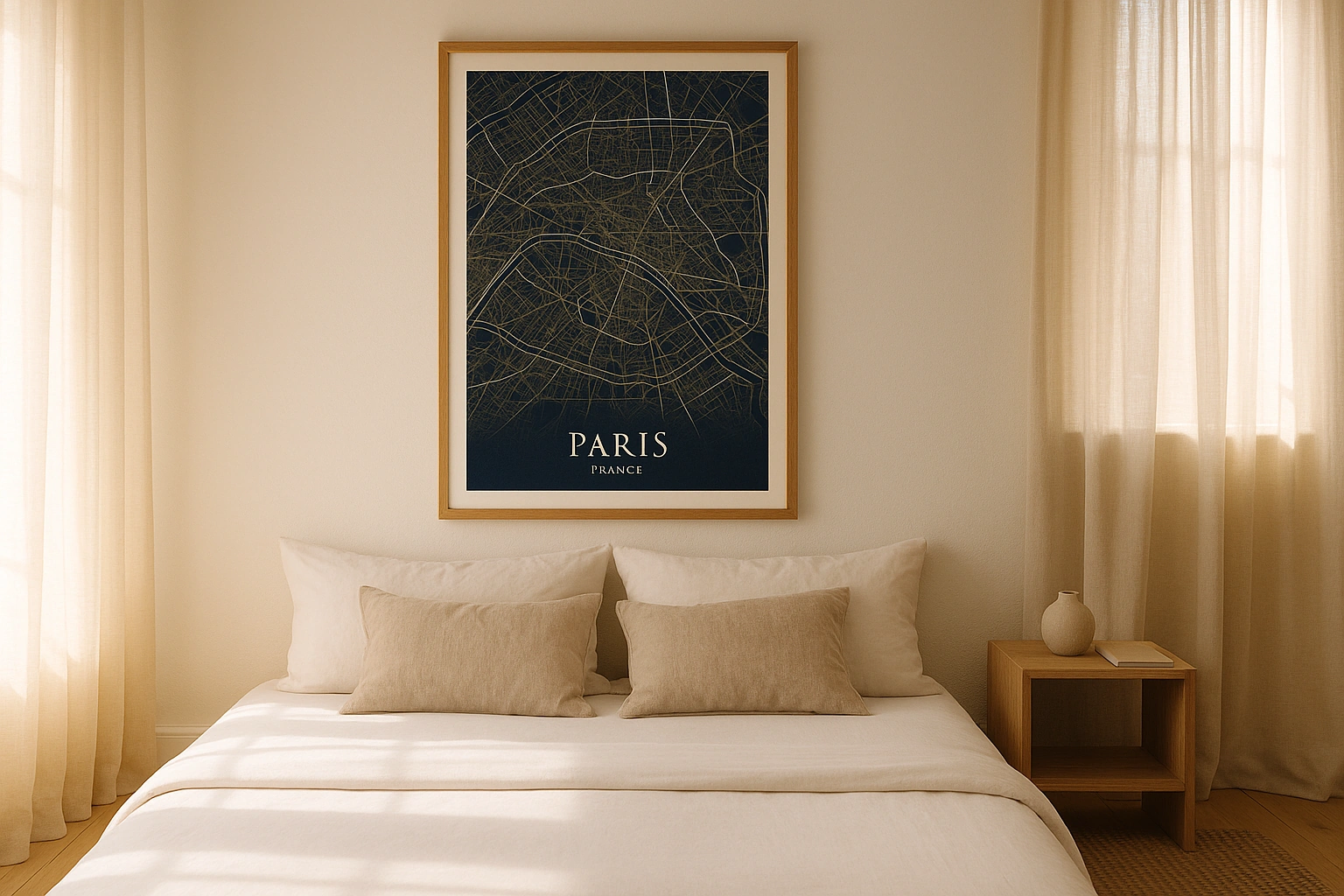
Bogotá in every style
The same streets, completely different moods. Choose a look that matches your space.
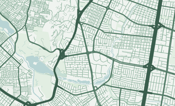
The Mountain Wall
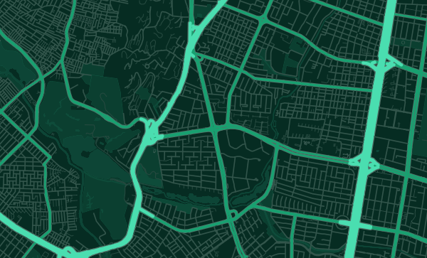
Bogotá's eastern edge is unlike anything in European or North American cartography. The Andes rise sharply — the Cerros Orientales — creating a continuous green boundary that no street can cross. On the map, the city simply stops at this line. In the Emerald City theme, this mountain wall glows with the lush green of Colombian cloud forest, a vivid frame for the urban grid below.
The North-South Corridor
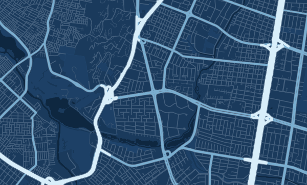
Bogotá's unique elongated shape — stretching over 30 kilometres north to south but only about 15 east to west — gives the map a distinctive proportional character. Carrera Séptima and the TransMilenio corridors run the length of the city like arteries. In the Blueprint theme, this linear organisation becomes almost diagrammatic, revealing a city that grows along a single axis.
From La Candelaria to Usaquén
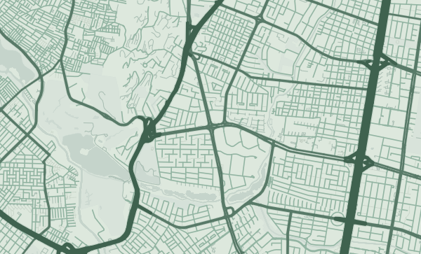
The colonial streets of La Candelaria, the parks of Chapinero, the upscale grid of Zona Rosa, the village-like plaza of Usaquén — Bogotá's neighbourhoods line up along the mountain edge like beads on a string. A custom map poster centred on your localidad is a personal connection to one of South America's most dynamic capitals. The Sage theme captures the cool, green-tinged light of Bogotá's highland climate.
Neighborhoods
Jump straight into an iconic Bogotá neighborhood and start designing.
Gift ideas
Make it personal for the moments that matter.
Questions
Answers about customizing and ordering a Bogotá map poster.
Can I customize a Bogotá map poster?
Yes. Choose the map crop, color theme, text, coordinates, labels, and print format before ordering.
Which parts of Bogotá can I map?
You can start with places like La Candelaria, Chapinero, and Usaquen, or search for any address, landmark, or neighborhood.
What formats are available?
Digital downloads are available instantly. Fine art prints, framed posters, and canvas prints are available for US shipping where the selected size supports them.
Ready to create your Bogotá poster?
Choose your theme, zoom into your favorite street, and make it yours.
Start designing